Cadogan Place, London
Map
Gallery
Facts and practical information
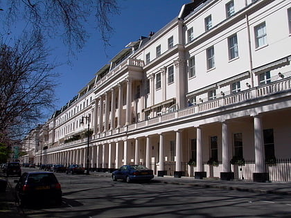
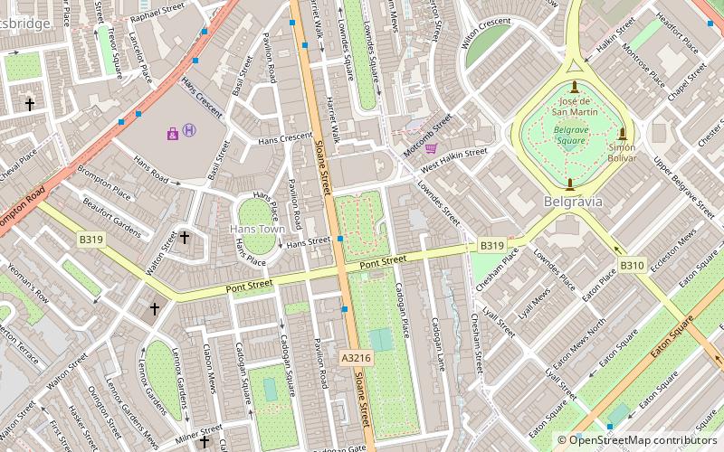
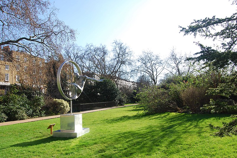
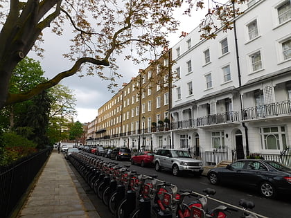
Cadogan Place is a street in Belgravia, London. It is named after Earl Cadogan and runs parallel to the lower half of Sloane Street. It gives its name to the extensive Cadogan Place Gardens, private communal gardens maintained for Cadogan residents. It is owned by Cadogan Estates. ()
Elevation: 49 ft a.s.l.Coordinates: 51°29'52"N, 0°9'31"W
Address
Kensington and Chelsea (Brompton)London
ContactAdd
Social media
Add
Day trips
Cadogan Place – popular in the area (distance from the attraction)
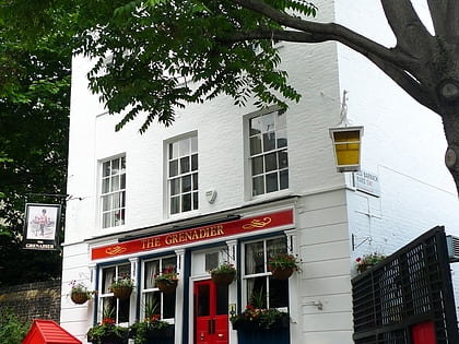
Nearby attractions include: Sloane Street, The Grenadier, Beauchamp Place, Peter Jones.
Frequently Asked Questions (FAQ)
Which popular attractions are close to Cadogan Place?
Nearby attractions include Sloane Street, London (2 min walk), Cadogan Square, London (6 min walk), Hans Place, London (6 min walk), Belgravia, London (6 min walk).
How to get to Cadogan Place by public transport?
The nearest stations to Cadogan Place:
Metro
Bus
Train
Ferry
Metro
- Knightsbridge • Lines: Piccadilly (8 min walk)
- Hyde Park Corner • Lines: Piccadilly (10 min walk)
Bus
- Hyde Park Corner • Lines: 38, N38 (11 min walk)
- Knightsbridge Barracks • Lines: 23, 452, 52, 702, 9, N9 (11 min walk)
Train
- London Victoria (17 min walk)
Ferry
- Cadogan Pier • Lines: Rb6 (28 min walk)
- Battersea Power Station Pier • Lines: Rb1, Rb2, Rb6 (29 min walk)
 Tube
Tube
