Holbeck Urban Village, Leeds
Map

Map

Facts and practical information
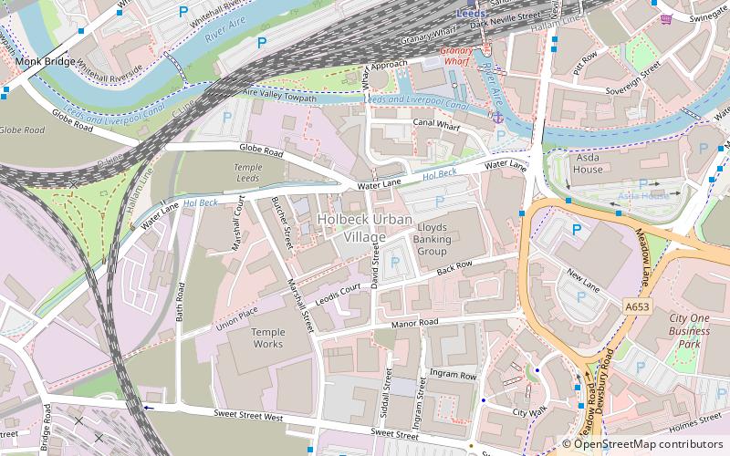
Holbeck Urban Village is an area of Leeds city centre, close to Leeds railway station that has been undergoing a period of urban renewal. ()
Coordinates: 53°47'29"N, 1°33'4"W
Address
City and Holbeck (Holbeck)Leeds
ContactAdd
Social media
Add
Day trips
Holbeck Urban Village – popular in the area (distance from the attraction)
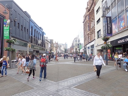
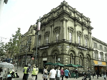
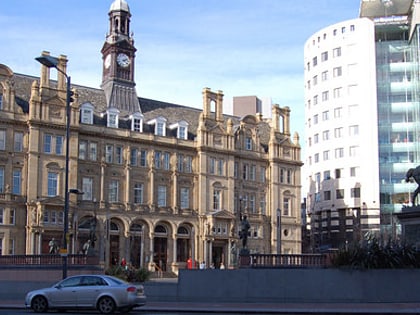
Nearby attractions include: Briggate, Leeds Corn Exchange, Leeds Kirkgate Market, The Tetley.
Frequently Asked Questions (FAQ)
Which popular attractions are close to Holbeck Urban Village?
Nearby attractions include Round Foundry, Leeds (3 min walk), Bridgewater Place, Leeds (4 min walk), Tower Works, Leeds (4 min walk), The Cockpit, Leeds (10 min walk).
How to get to Holbeck Urban Village by public transport?
The nearest stations to Holbeck Urban Village:
Ferry
Bus
Train
Ferry
- Leeds Water Taxi Dock • Lines: Leeds Dock Water Taxi (19 min walk)
Bus
- Southbank E • Lines: Pr3 (6 min walk)
- Southbank F • Lines: Pr1 (7 min walk)
Train
- Leeds (7 min walk)


