Hugill Fell, Windermere
Map

Map

Facts and practical information
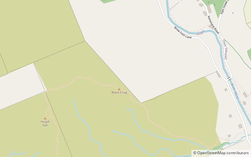
Hugill Fell is a hill in the English Lake District, near Staveley, Cumbria, on the western side of the Kentmere valley. It is the subject of a chapter of Wainwright's book The Outlying Fells of Lakeland. It reaches 840 feet and Wainwright's walk is an ascent from Staveley and return on the same route. There is a cairn on the summit. ()
Coordinates: 54°23'16"N, 2°49'45"W
Address
Windermere
ContactAdd
Social media
Add
Day trips
Hugill Fell – popular in the area (distance from the attraction)
Nearby attractions include: Windermere Jetty, Holehird Gardens, St. James, Orrest Head.
Frequently Asked Questions (FAQ)
How to get to Hugill Fell by public transport?
The nearest stations to Hugill Fell:
Bus
Train
Bus
- Reston Cottages • Lines: 555, 755 (18 min walk)
- Brow Lane • Lines: 555 (19 min walk)
Train
- Staveley (24 min walk)


