Wessenden Valley, Marsden
Map

Map

Facts and practical information
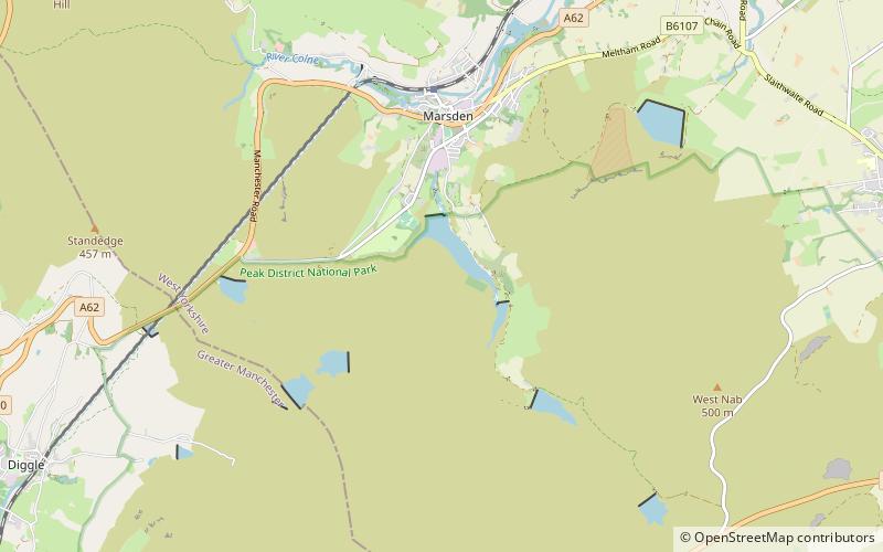
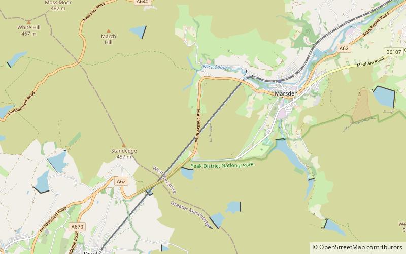
The Wessenden Valley is a moorland valley in the Dark Peak, immediately south of Marsden in West Yorkshire, England. The name Wessenden derives from Old English and means the 'valley with rock suitable for whetstones'. The valley was formed by retreating glaciers at the end of the last ice age and continues to be cut by the Wessenden Brook a tributary of the River Colne with a catchment of 6.28 square miles. ()
Coordinates: 53°35'10"N, 1°55'44"W
Address
Colne ValleyMarsden
ContactAdd
Social media
Add
Day trips
Wessenden Valley – popular in the area (distance from the attraction)
Nearby attractions include: Dovestone Reservoir, Wessenden Head Reservoir, Wessenden Reservoir, Saddleworth Museum.


