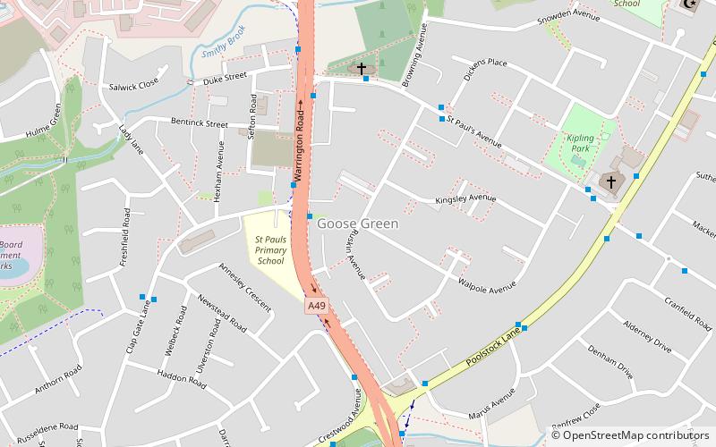
Goose Green, Wigan

Map
Facts and practical information
Goose Green is a mainly residential area of Wigan, Greater Manchester, England. Historically, it forms part of Lancashire. ()
Coordinates: 53°31'32"N, 2°39'13"W
Address
Wigan
ContactAdd
Social media
Add
Day trips
Goose Green – popular in the area (distance from the attraction)
Nearby attractions include: Trencherfield Mill, Adam Viaduct, St John the Divine's Church, St Matthew's Church.
Frequently Asked Questions (FAQ)
How to get to Goose Green by public transport?
The nearest stations to Goose Green:
Train
Bus
Train
- Pemberton (19 min walk)
Bus
- Darlington Street/Sovereign Road • Lines: 360 (43 min walk)


