Metropolitan Borough of Gateshead, Newcastle upon Tyne
Map

Map

Facts and practical information
The Metropolitan Borough of Gateshead is a metropolitan borough in the metropolitan county of Tyne and Wear, North East England. It includes Gateshead, Rowlands Gill, Whickham, Blaydon, Ryton, Felling, Pelaw, Dunston and Low Fell. The borough forms part of the Tyneside conurbation, centred on Newcastle upon Tyne. ()
Day trips
Metropolitan Borough of Gateshead – popular in the area (distance from the attraction)
Nearby attractions include: Centre for Life, Metro Radio Arena, Sage Gateshead, Saltwell Park.
Frequently Asked Questions (FAQ)
Which popular attractions are close to Metropolitan Borough of Gateshead?
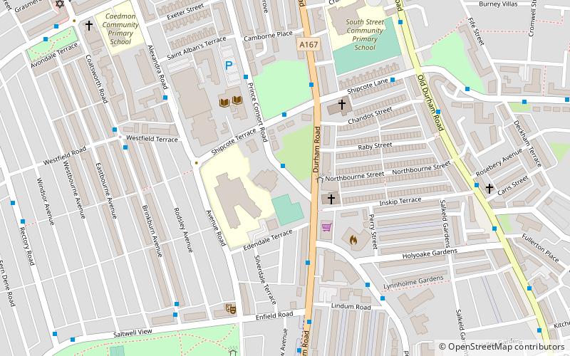
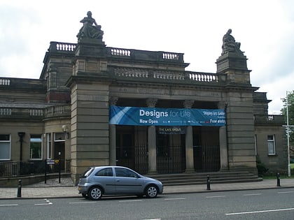
Nearby attractions include Shipley Art Gallery, Newcastle upon Tyne (1 min walk), Little Theatre, Newcastle upon Tyne (5 min walk), Gateshead, Newcastle upon Tyne (6 min walk), Saltwell Park, Newcastle upon Tyne (12 min walk).
How to get to Metropolitan Borough of Gateshead by public transport?
The nearest stations to Metropolitan Borough of Gateshead:
Bus
Light rail
Bus
- Whitehall Road-Prince Consort Road-W/B • Lines: 29 (7 min walk)
- Bensham Whitehall Road • Lines: 29 (9 min walk)
Light rail
- Gateshead Stadium • Lines: Green, Yellow (19 min walk)
- Felling • Lines: Green, Yellow (30 min walk)


