Queen Elizabeth II Bridge, Newcastle upon Tyne
Map

Gallery

Facts and practical information
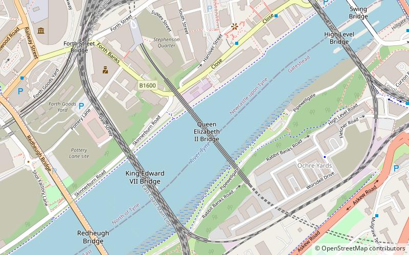
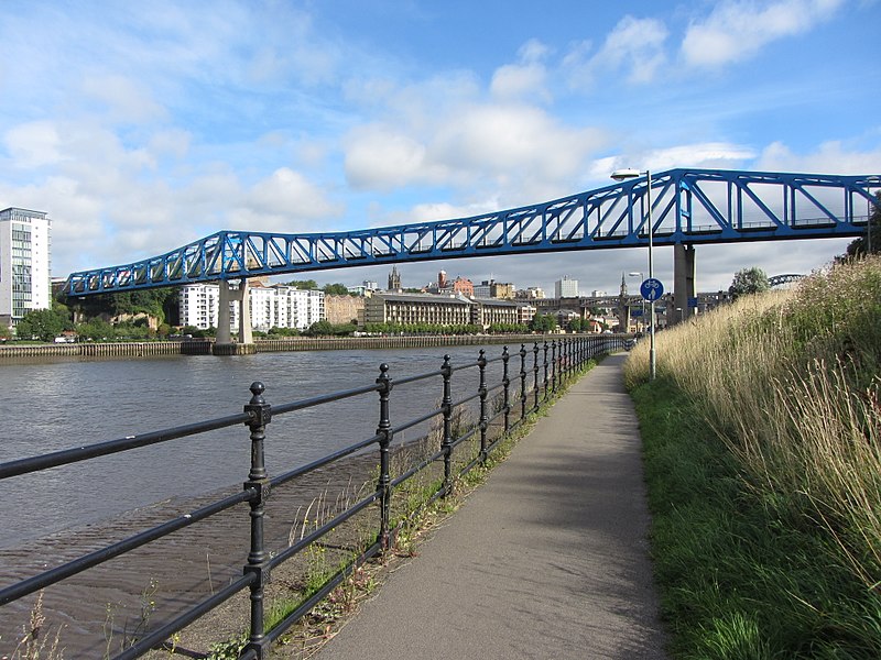
The Queen Elizabeth II Bridge carries the Tyne and Wear Metro between Newcastle upon Tyne and Gateshead over the River Tyne in North East England. The line is in tunnels on either side of the river and only emerges into open air to cross the bridge. ()
Opened: 15 November 1981 (44 years ago)Length: 1157 ftWidth: 34 ftCoordinates: 54°57'53"N, 1°36'51"W
Day trips
Queen Elizabeth II Bridge – popular in the area (distance from the attraction)
Nearby attractions include: Centre for Life, Tup Tup Palace, Metro Radio Arena, Newcastle Castle.
Frequently Asked Questions (FAQ)
Which popular attractions are close to Queen Elizabeth II Bridge?
Nearby attractions include King Edward VII Bridge, Newcastle upon Tyne (4 min walk), Fahrenheit - Genting Casino Newcastle, Newcastle upon Tyne (5 min walk), Redheugh Bridge, Newcastle upon Tyne (7 min walk), High Level Bridge, Newcastle upon Tyne (7 min walk).
How to get to Queen Elizabeth II Bridge by public transport?
The nearest stations to Queen Elizabeth II Bridge:
Train
Bus
Light rail
Train
- Newcastle (8 min walk)
- Manors (17 min walk)
Bus
- Central Station Neville Street • Lines: 1, 97 (9 min walk)
- Wellington Street • Lines: 97 (9 min walk)
Light rail
- Central Station • Lines: Green, Yellow (9 min walk)
- Gateshead • Lines: Green, Yellow (12 min walk)


