Barbican Conservatory, London
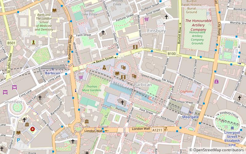
Map
Map

Facts and practical information
The Barbican Conservatory is the second largest conservatory in London, located at the Barbican Centre. It houses more than 2000 species of plants and trees, as well as terrapins and koi carp. The conservatory covers 23,000 square feet, and is located on top of the theatre's fly tower. ()
Elevation: 92 ft a.s.l.Coordinates: 51°31'11"N, 0°5'38"W
Address
Silk St, EC2Y 8DSCity of London (Cripplegate)London
Contact
+44 845 120 7500
Social media
Add
Day trips
Barbican Conservatory – popular in the area (distance from the attraction)
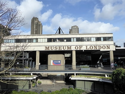
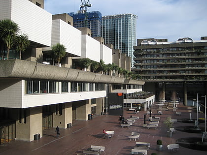
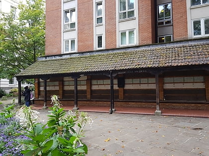
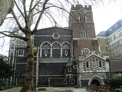
Nearby attractions include: Museum of London, Barbican Centre, Memorial to Heroic Self-Sacrifice, St Bartholomew-the-Great.
Frequently Asked Questions (FAQ)
Which popular attractions are close to Barbican Conservatory?
Nearby attractions include Barbican Estate, London (2 min walk), Barbican Centre, London (2 min walk), St Giles-without-Cripplegate, London (2 min walk), Beech Street, London (3 min walk).
How to get to Barbican Conservatory by public transport?
The nearest stations to Barbican Conservatory:
Bus
Metro
Train
Light rail
Ferry
Bus
- Beech Street • Lines: 153 (2 min walk)
- Silk Street • Lines: 153 (3 min walk)
Metro
- Barbican • Lines: Circle, Hammersmith & City, Metropolitan (6 min walk)
- Moorgate • Lines: Circle, Hammersmith & City, Metropolitan, Northern (7 min walk)
Train
- Bank (13 min walk)
- City Thameslink (14 min walk)
Light rail
- Bank Platform 10 • Lines: B-L, B-Wa (15 min walk)
- Tower Gateway Platform 1 • Lines: Tg-B (27 min walk)
Ferry
- Blackfriars Pier • Lines: Rb6 (18 min walk)
- Bankside Pier • Lines: Green Tour, Rb1, Rb1X, Rb2 (20 min walk)

 Tube
Tube