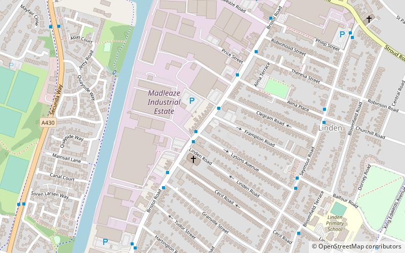
Bristol Road, Gloucester

Gallery (1)
Map
Map
Facts and practical information
Bristol Road in the City of Gloucester dates from the medieval period. It runs between Southgate Street in the north and Quedgeley in the south where it joins the Bath Road and the A38. It contains a number of listed buildings and other notable structures. ()
Coordinates: 51°51'11"N, 2°15'19"W
Address
Gloucester
ContactAdd
Social media
Add
Getting there by public transportation
Public transportation stops near this location
- Train
 Train
Train
- Calculate routeGloucester 29 min walk
Day trips


Frequently Asked Questions (FAQ)
Which popular attractions are close to Bristol Road?
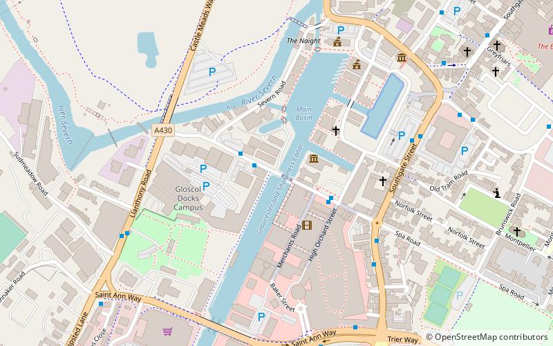
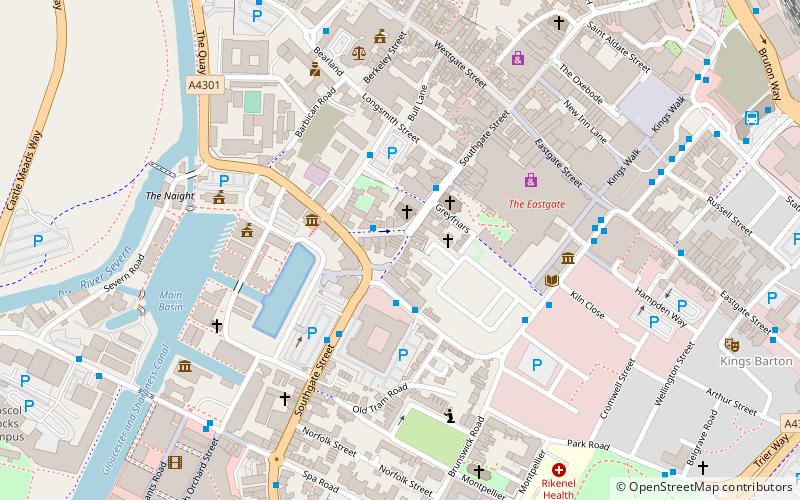
Nearby attractions include High Orchard Bridge, Gloucester (11 min walk), St Paul and St Stephen's Church, Gloucester (12 min walk), Llanthony Secunda Priory, Gloucester (14 min walk), Spa Road, Gloucester (15 min walk).
How to get to Bristol Road by public transport?
The nearest stations to Bristol Road:
Train
Train
- Gloucester (29 min walk)