Spennells Valley, Kidderminster
Map

Map

Facts and practical information
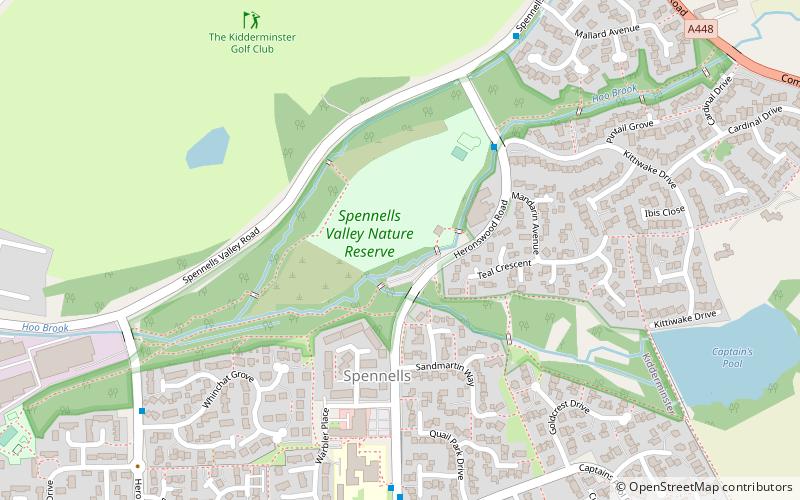
Spennells Valley is a local nature reserve in south-east Kidderminster, in Worcestershire, England. ()
Elevation: 118 ft a.s.l.Coordinates: 52°22'24"N, 2°13'52"W
Address
Kidderminster
ContactAdd
Social media
Add
Day trips
Spennells Valley – popular in the area (distance from the attraction)
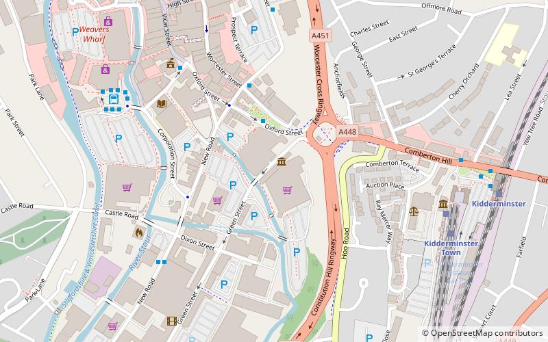
Nearby attractions include: Aggborough Stadium, Museum of Carpet, Kidderminster Town Hall, St Mary.
Frequently Asked Questions (FAQ)
How to get to Spennells Valley by public transport?
The nearest stations to Spennells Valley:
Train
Bus
Train
- Kidderminster Town (21 min walk)
- Kidderminster (21 min walk)
Bus
- Kidderminster Bus Station (31 min walk)


