Northern Quarter, Manchester
Map

Gallery

Facts and practical information
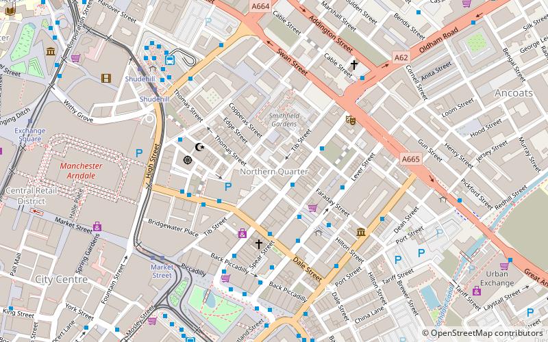
The Northern Quarter is an area of Manchester city centre, England, between Piccadilly station, Victoria station and Ancoats, centred on Oldham Street, just off Piccadilly Gardens. It was defined and named in the 1990s as part of the regeneration and gentrification of Manchester. ()
Coordinates: 53°29'1"N, 2°14'6"W
Address
City CentreManchester
ContactAdd
Social media
Add
Day trips
Northern Quarter – popular in the area (distance from the attraction)
Nearby attractions include: Oldham Street, Corporation Street, Market Street, Manchester Arndale.
Frequently Asked Questions (FAQ)
Which popular attractions are close to Northern Quarter?
Nearby attractions include Oldham Street, Manchester (2 min walk), Night & Day Cafe, Manchester (2 min walk), Big Horn, Manchester (3 min walk), 3MT Venue, Manchester (3 min walk).
How to get to Northern Quarter by public transport?
The nearest stations to Northern Quarter:
Bus
Tram
Train
Bus
- CHURCH Street/Tib Street • Lines: 33 (3 min walk)
- Dale Street/Oldham Street • Lines: 2, 2 (peak) (3 min walk)
Tram
- Market Street • Lines: Airp, Altr, Bury, Picc, Vict (5 min walk)
- Shudehill • Lines: Airp, Altr, Bury, Picc, Vict (6 min walk)
Train
- Manchester Victoria (11 min walk)
- Manchester Piccadilly (13 min walk)

 Metrolink
 Metrolink / Rail


