Kingsway Tunnel, Liverpool
Map
Map

Facts and practical information
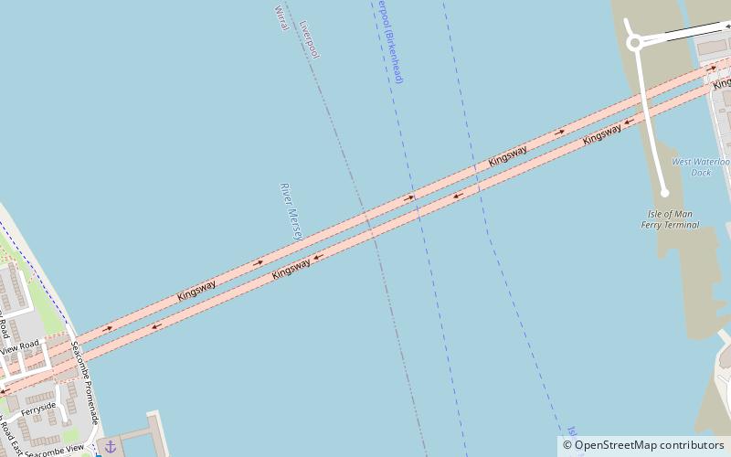
The Kingsway Tunnel is a toll road tunnel under the River Mersey between Liverpool and Wallasey. The 1.5 mi tunnel carries the A59. It was built because the Queensway Tunnel – which was built in the 1930s to carry vehicles between Birkenhead and Liverpool – was unable to cope with the rise in postwar traffic. ()
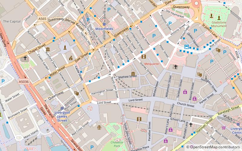
Coordinates: 53°24'47"N, 3°0'36"W
Address
Liverpool
ContactAdd
Social media
Add
Day trips
Kingsway Tunnel – popular in the area (distance from the attraction)
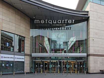
Nearby attractions include: Mathew Street, Lord Street, Pier Head, Metquarter.
Frequently Asked Questions (FAQ)
Which popular attractions are close to Kingsway Tunnel?
Nearby attractions include Waterloo Dock, Liverpool (9 min walk), Eureka! Mersey, Liverpool (10 min walk), Mersey Tunnels, Liverpool (12 min walk), St Paul's Church, Liverpool (13 min walk).
How to get to Kingsway Tunnel by public transport?
The nearest stations to Kingsway Tunnel:
Train
Bus
Tram
Train
- Moorfields (24 min walk)
- Liverpool James Street (24 min walk)
Bus
- James St/stop Jb • Lines: 18 (24 min walk)
- Dale St/stop Dd • Lines: 18 (25 min walk)
Tram
- Shore Road • Lines: Wirral Tramway (30 min walk)
- Stop • Lines: Wirral Tramway (31 min walk)


