Westfield Farm Chalk Bank, Lambourn
#4 among attractions in Lambourn
![Westfield Farm Chalk Bank location map](https://tzmedia.b-cdn.net/media/images/static-maps/gb/51_483_-1_49.jpg)
Facts and practical information
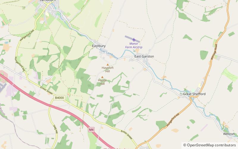
Westfield Farm Chalk Bank is a 14.1-hectare biological Site of Special Scientific Interest west of East Garston in Berkshire. ()
Lambourn United Kingdom
Lambourn plan & book
Unleash the traveler in you — discover the cheapest flight deals, find the perfect hotel or hostel nearby, and search for the best car rental prices. Travel at your own pace to discover new places and enjoy your journey.
Westfield Farm Chalk Bank – popular in the area (distance from the attraction)
Nearby attractions include: West Berkshire Golf Club, Dun Mill Lock, Hungerford Lock, Hungerford Marsh Lock.
3.1 miEGolfWest Berkshire Golf Club
79 min walk • West Berkshire Golf Club is a golf club, located in Chaddleworth, Berkshire, England. It is located about 3 miles from Woodlands St Mary. It was established in 1975. The course was designed by Robin Stagg and Paul Simpson.
4.9 miSCanalDun Mill Lock
126 min walk • Dun Mill Lock is a lock on the Kennet and Avon Canal, near Hungerford, Berkshire, England. The lock has a rise/fall of 5 ft 8 in. It is a grade II listed building.
4.7 miSCanalHungerford Lock, Hungerford
121 min walk • Hungerford Lock is a lock on the Kennet and Avon Canal, at Hungerford, Berkshire, England. The lock has a rise/fall of 8 ft 0 in.
5 miSCanalHungerford Marsh Lock, Hungerford
129 min walk • Hungerford Marsh Lock is a lock on the Kennet and Avon Canal, at Hungerford, Berkshire, England. The lock has a rise/fall of 8 ft 1 in.
5 miSCanalWire Lock
129 min walk • Wire Lock is a lock on the Kennet and Avon Canal, near Hungerford, Berkshire, England. It is a grade II listed building.
5.5 miNForts and castlesSegsbury Camp
141 min walk • Segsbury Camp or Segsbury Castle is an Iron Age hill fort on the crest of the Berkshire Downs, near the Ridgeway above Wantage, in the Vale of White Horse district of Oxfordshire, England.
5.2 miSWCanalCobbler's Lock
133 min walk • Cobbler's Lock is a lock on the Kennet and Avon Canal, near Hungerford, Berkshire, England. The lock has a rise/fall of 8 ft 3 in.
6.5 miSECanalDreweatt's Lock
166 min walk • Dreweatt's Lock is a lock on the Kennet and Avon Canal, between Kintbury and Newbury, Berkshire, England. The lock has a rise/fall of 5 ft 9 in. It is a grade II listed building.
4.8 miSLibraryHungerford Library, Hungerford
124 min walk • Hungerford Town Hall is a municipal building in the High Street, Hungerford, Berkshire, England. The town hall, which is the meeting place of Hungerford Town Council, is a Grade II listed building.
6.6 miSWCanalOakhill Down Lock
168 min walk • Oakhill Down Lock is a lock on the Kennet and Avon Canal, at Froxfield, Wiltshire, England between Newbury Bridge and Pewsey Wharf. The lock has a rise/fall of 5 ft 11 in. It is a grade II listed building.
6.1 miNWForts and castlesAlfred's Castle
156 min walk • Alfred's Castle is a small Iron Age hill fort, situated at grid reference SU277822, behind Ashdown Park in the civil parish of Ashbury in Oxfordshire. It lies 2–3 km south of the Ridgeway and is protected as a Scheduled Ancient Monument.