Tullos, Aberdeen
Map

Map

Facts and practical information
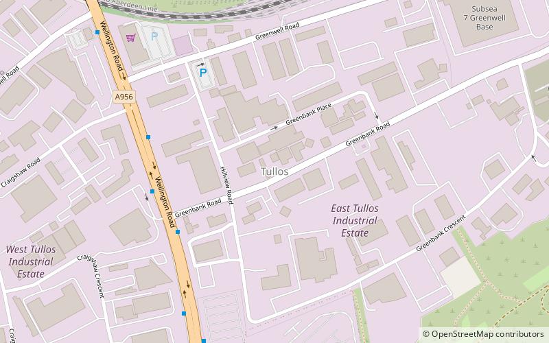
Tullos is an area of Aberdeen, Scotland. The area takes its name from the Vale of Tullos, which lies between Tullos Hill and Torry Hill. Tullos derived its name from a corruption of the Gaelic ‘Tulach’ meaning a hill. ()
Coordinates: 57°7'32"N, 2°5'11"W
Address
Kincorth - Loirston (Altens)Aberdeen
ContactAdd
Social media
Add
Day trips
Tullos – popular in the area (distance from the attraction)
Nearby attractions include: Union Square Aberdeen, Duthie Park, Wellington Suspension Bridge, Rubislaw and Queens Terrace Gardens.
Frequently Asked Questions (FAQ)
Which popular attractions are close to Tullos?
Nearby attractions include Duthie Park, Aberdeen (19 min walk), Torry, Aberdeen (19 min walk), Wellington Suspension Bridge, Aberdeen (20 min walk), King George VI Bridge, Aberdeen (22 min walk).
How to get to Tullos by public transport?
The nearest stations to Tullos:
Bus
Train
Bus
- Faulds Gate • Lines: 17 (21 min walk)
- Abbotswell School • Lines: 17 (25 min walk)
Train
- Aberdeen (32 min walk)


