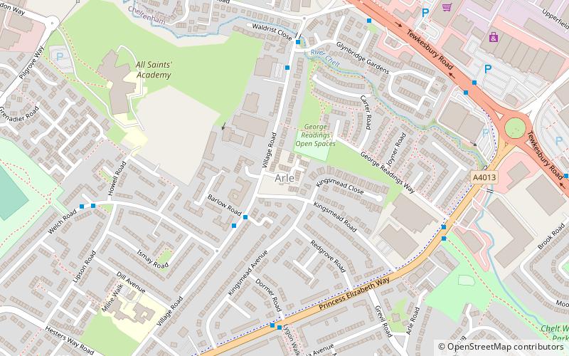
Arle, Cheltenham
Map

Map

Facts and practical information
Arle is a district of Cheltenham in Gloucestershire, England. It was historically a manorial estate which owned parts of the town now known as Hesters Way, Fiddlers Green, Arle and Benhall. The names Arle Court, Arle House and Arle Mill are relics of the historic past. Much of the area was market gardens and orchards in the early 20th century. ()
Coordinates: 51°54'46"N, 2°6'22"W
Address
Cheltenham
ContactAdd
Social media
Add
Day trips
Arle – popular in the area (distance from the attraction)
Nearby attractions include: The Wilson, Cheltenham Town Hall, Cheltenham Municipal Offices, St Gregory's Church.
Frequently Asked Questions (FAQ)
Which popular attractions are close to Arle?
Nearby attractions include Hesters Way, Cheltenham (10 min walk), Rowanfield, Cheltenham (18 min walk).
How to get to Arle by public transport?
The nearest stations to Arle:
Train
Train
- Cheltenham Spa (29 min walk)


