Ward's Stone, Forest of Bowland
Map

Map

Facts and practical information
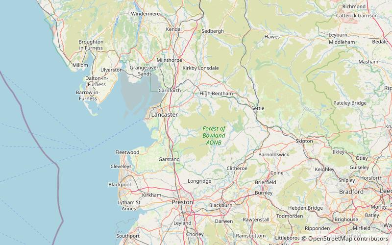
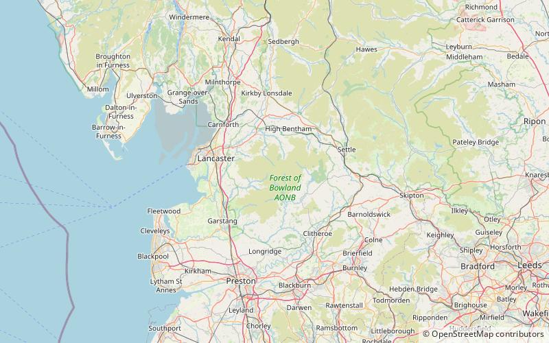
Ward's Stone is the highest hill in the Forest of Bowland, England. Its flat top hides two trig points nearly a kilometre apart. The western trig point sits atop of large rocks, including one, the Ward's Stone, that is so large it attracts boulderers and climbers. ()
Coordinates: 54°1'22"N, 2°37'27"W
Address
Forest of Bowland
ContactAdd
Social media
Add
Day trips
Ward's Stone – popular in the area (distance from the attraction)
Nearby attractions include: Crook o' Lune, Great Stone of Fourstones, Wray Chapel, Clougha Pike.


