White Hill

Gallery (1)
Map
Map
Facts and practical information
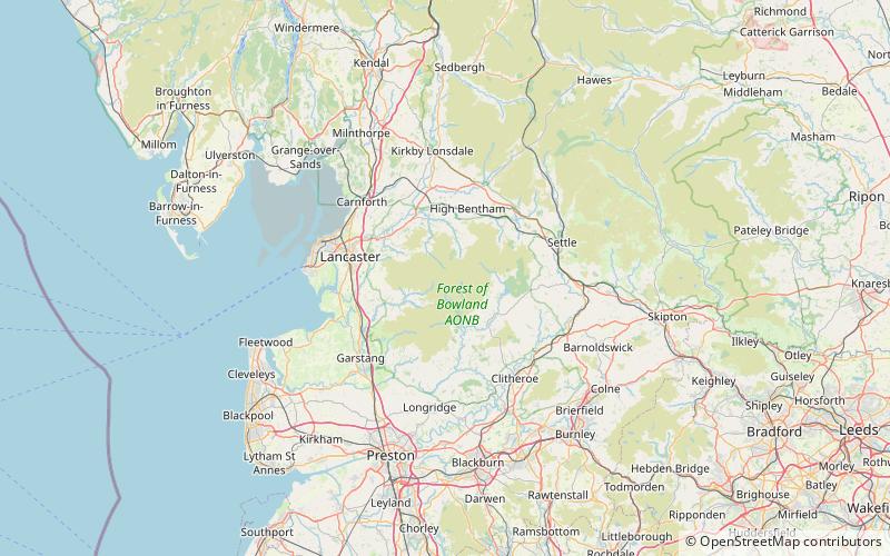
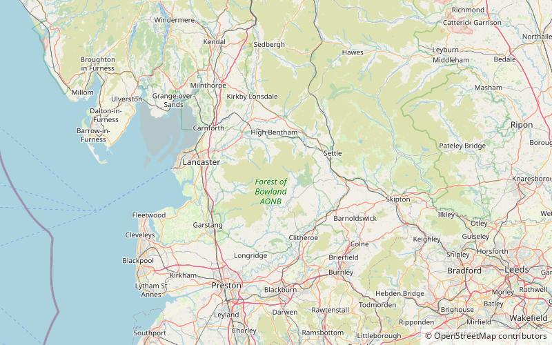
White Hill is a hill in the Forest of Bowland, north-western England. It lies between Slaidburn and High Bentham. The summit houses a tower and a trig point. In medieval times, the hill marked one of the northernmost limits of the Lordship of Bowland. ()
Elevation: 1785 ftProminence: 522 ftCoordinates: 54°1'28"N, 2°30'4"W
Location
England
ContactAdd
Social media
Add
Day trips