Perry Barr Reservoir, Birmingham
Map

Map

Facts and practical information
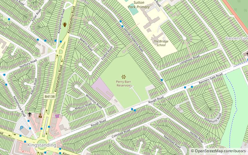
Perry Barr Reservoir is a covered drinking water reservoir, in north Birmingham, England, operated by Severn Trent Water. Built for the then Birmingham Corporation Water Department, on the site of the former Perry Barr Farm, it is not, despite its name, in the modern Perry Barr area, but nearby Kingstanding, at grid reference SP083951. ()
Elevation: 528 ft a.s.l.Coordinates: 52°33'21"N, 1°52'43"W
Address
KingstandingBirmingham
ContactAdd
Social media
Add
Day trips
Perry Barr Reservoir – popular in the area (distance from the attraction)
Nearby attractions include: Odeon, King's Standing Bowl Barrow, St Mary's College, Sutton Park.
Frequently Asked Questions (FAQ)
How to get to Perry Barr Reservoir by public transport?
The nearest stations to Perry Barr Reservoir:
Bus
Bus
- Kings Rd / Beggars Bush • Lines: 5 (24 min walk)
- Jockey Rd / The Beggars Bush • Lines: 5, 907 (26 min walk)


