King's Standing Bowl Barrow, Birmingham
Map

Map

Facts and practical information
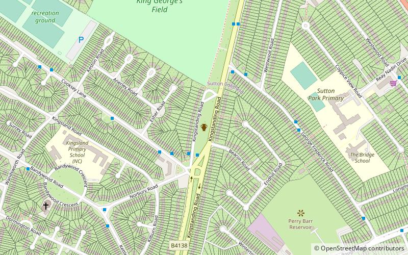
King's Standing Bowl Barrow or Kingstanding Mound, is a scheduled monument in the Kingstanding area of Birmingham. It comprises the buried and earthwork remains of a bowl barrow from the late Neolithic to the late Bronze Age, lying alongside the Icknield Street Roman road to the South of Sutton Park. ()
Coordinates: 52°33'29"N, 1°52'58"W
Address
OscottBirmingham
ContactAdd
Social media
Add
Day trips
King's Standing Bowl Barrow – popular in the area (distance from the attraction)
Nearby attractions include: Barr Beacon, Odeon, Lunar Society Moonstones, Barr Beacon Reservoir.
Frequently Asked Questions (FAQ)
How to get to King's Standing Bowl Barrow by public transport?
The nearest stations to King's Standing Bowl Barrow:
Bus
Bus
- Kings Rd / Beggars Bush • Lines: 5 (30 min walk)
- Jockey Rd / The Beggars Bush • Lines: 5, 907 (32 min walk)


