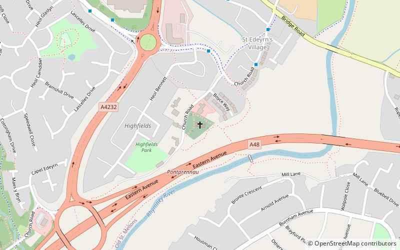
St Edeyrn's Church, Cardiff
Map

Map

Facts and practical information
St Edeyrn's Church is a listed Anglican church within the boundary of Old St Mellon's, Cardiff, though giving its name to the nearby area of Llanedeyrn. ()
Coordinates: 51°31'53"N, 3°7'30"W
Address
Caerdydd Ddwyrain (Pontprennau a Phentref Llaneirwg)Cardiff
ContactAdd
Social media
Add
Day trips
St Edeyrn's Church – popular in the area (distance from the attraction)
Nearby attractions include: Roath Park, Whitchurch Golf Club, Llanishen Baptist Church, Ruperra Castle.
Frequently Asked Questions (FAQ)
How to get to St Edeyrn's Church by public transport?
The nearest stations to St Edeyrn's Church:
Bus
Bus
- East Park & Ride • Lines: H59 (22 min walk)


