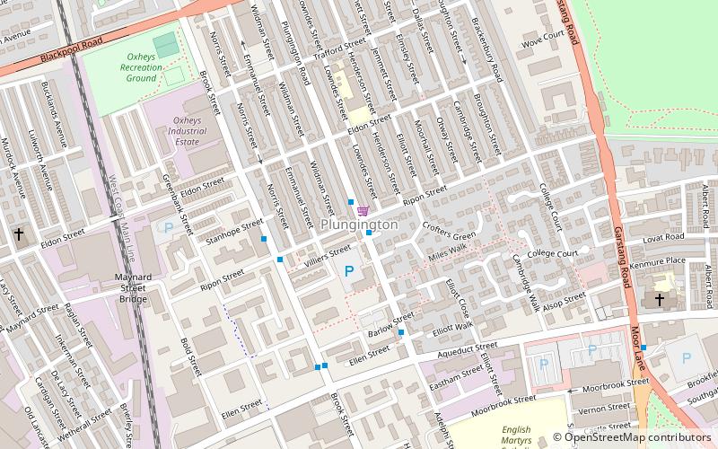
Plungington, Preston
Map
Facts and practical information
Plungington is a district of Preston, Lancashire, England, to the northwest of the city centre. It is now largely occupied by students attending the University of Central Lancashire. Historically, it was an area of working-class terraced housing dating from the late 1880s. ()
Coordinates: 53°46'13"N, 2°42'41"W
Address
UniversityPreston
ContactAdd
Social media
Add
Getting there by public transportation
Public transportation stops near this location
- Bus
- Train
 Bus
Bus
- Calculate routeWithy Trees 13 min walk
- Calculate routeBus Station 24 min walk
- Calculate routePreston Bus Station 23 min walk
- Calculate routePreston 27 min walk
Day trips


Frequently Asked Questions (FAQ)
Which popular attractions are close to Plungington?
Nearby attractions include Emmanuel Church, Preston (3 min walk), Moor Park Methodist Church, Preston (7 min walk), Church of St Thomas of Canterbury and the English Martyrs, Preston (8 min walk), St Thomas' Church, Preston (11 min walk).
How to get to Plungington by public transport?
The nearest stations to Plungington:
Bus
Train
Bus
- Withy Trees • Lines: 40, 41 (13 min walk)
- Bus Station • Lines: 111, 40, 41 (24 min walk)
Train
- Preston (27 min walk)