Weeting Heath, Thetford Forest

Gallery (1)
Map
Map
Facts and practical information
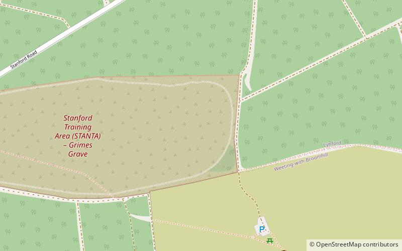
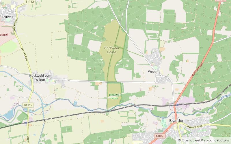
Weeting Heath is a 141.8-hectare biological Site of Special Scientific Interest west of Thetford in Norfolk, which is managed by the Norfolk Wildlife Trust. It is a Nature Conservation Review site, Grade I, and a National Nature Reserve. It is also part of the Breckland Special Area of Conservation and Special Protection Area. ()
Elevation: 72 ft a.s.l.Coordinates: 52°27'57"N, 0°35'15"E
Address
Thetford Forest
ContactAdd
Social media
Add
Day trips