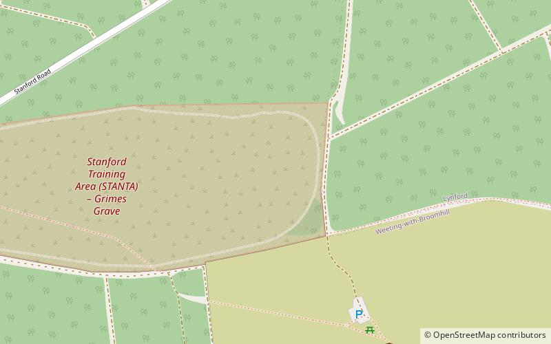
Thetford Rural District, Thetford Forest
#8 among attractions in Thetford Forest
Facts and practical information
Thetford Rural District was a rural district in Norfolk, England from 1894 to 1935. ()
Thetford Forest United Kingdom
Thetford Rural District – popular in the area (distance from the attraction)
Nearby attractions include: Black Horse, Grime's Graves, Charles Burrell Museum, Thetford Guildhall.
 Nightlife
Black Horse, Thetford
146 min walk • The Black Horse is a grade II listed pub in Thetford, Norfolk, England. It dates from the Mid 18th century and is constructed of flint, clunch and brick, with a colour wash over plaster, and a roof of black-glazed pantiles.
 Archaeological site, Vernacular architecture
Grime's Graves, Thetford Forest
7 min walk • Grime's Graves is a large Neolithic flint mining complex in Norfolk, England. It lies 8 km north east from Brandon, Suffolk in the East of England. It was worked between c. 2600 and c. 2300 BC, although production may have continued well into the Bronze and Iron Ages owing to the low cost of flint compared with metals.
 Specialty museum, Museum, Science museum
Charles Burrell Museum, Thetford
141 min walk • The Charles Burrell Museum is a museum in Thetford in Norfolk, England, dedicated to steam power and steam transport. The museum opened in 1991 in the former Paint Shop of Charles Burrell & Sons, which is grade II listed, on Minstergate in Thetford.
 City hall
Thetford Guildhall, Thetford
147 min walk • Thetford Guildhall is a municipal structure in the Market Place in Thetford, Norfolk, England. The town hall, which was the headquarters of Thetford Borough Council, is a Grade II listed building.
 Nature and wildlife, Park
Brandon Country Park, Thetford Forest
91 min walk • Brandon Country Park is a country park in Brandon, Suffolk, England.
 Forts and castles
Weeting Castle, Thetford Forest
60 min walk • Weeting Castle is a ruined, medieval manor house near the village of Weeting in Norfolk, England. It was built around 1180 by Hugh de Plais, and comprised a three-storey tower, a substantial hall, and a service block, with a separate kitchen positioned near the house.
 Monastery
Thetford Priory, Thetford
137 min walk • Thetford Priory is a Cluniac monastic house in Thetford, Norfolk, England. It should not be confused with the Dominican Friary of Blackfriars, Thetford that later became part of Thetford Grammar School.
 Forts and castles, Romanesque architecture
Thetford Castle, Thetford
151 min walk • Thetford Castle is a medieval motte and bailey castle in the market town of Thetford in the Breckland area of Norfolk, England.
 Park
ParkWeeting Heath, Thetford Forest
92 min walk • Weeting Heath is a 141.8-hectare biological Site of Special Scientific Interest west of Thetford in Norfolk, which is managed by the Norfolk Wildlife Trust. It is a Nature Conservation Review site, Grade I, and a National Nature Reserve. It is also part of the Breckland Special Area of Conservation and Special Protection Area.
 Ruins, Historical place, Church
Holy Sepulchre Priory, Thetford
140 min walk • Holy Sepulchre Church, Thetford was a medieval monastic house in Thetford, Norfolk. The ruined nave of this 14th-century church are the only surviving remains in England of a priory of Canons of the Holy Sepulchre, who followed the Rule of Saint Augustine and aided pilgrims to Christ's tomb.
 Military museum, Museum, History museum
Dad's Army Museum, Thetford
147 min walk • The Dad's Army Museum is a museum located in Cage Lane in Thetford in Norfolk, England, dedicated to the popular BBC comedy series Dad's Army. Many of the outdoor locations were filmed in the local area.


