Bishops Waltham Branch LNR, Bishop's Waltham

Gallery (1)
Map
Map
Facts and practical information
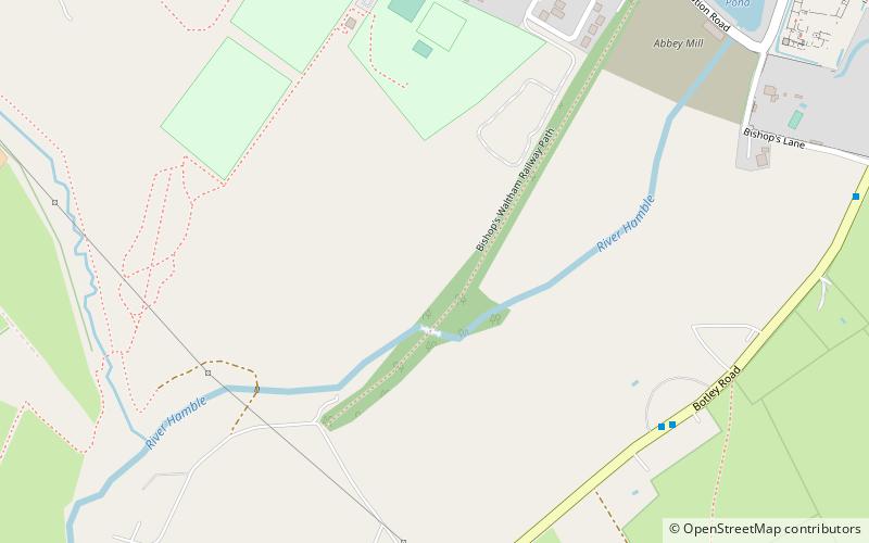
Bishops Waltham Branch LNR is a 1.6-hectare local nature reserve in Bishop's Waltham in Hampshire. It is owned and managed by Hampshire County Council. ()
Elevation: 102 ft a.s.l.Coordinates: 50°57'0"N, 1°13'23"W
Address
Bishop's Waltham
ContactAdd
Social media
Add
Day trips


Frequently Asked Questions (FAQ)
Which popular attractions are close to Bishops Waltham Branch LNR?
Nearby attractions include Bishop's Waltham Palace, Bishop's Waltham (11 min walk), Claylands, Bishop's Waltham (18 min walk), The Moors, Bishop's Waltham (24 min walk).