Burnden, Bolton
Map
Facts and practical information
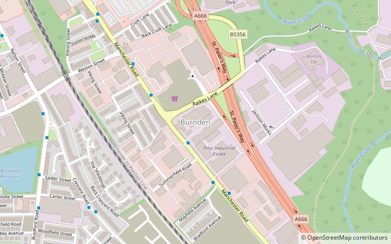
Burnden is a district in the town of Bolton in Greater Manchester, England. It is located about 1 mile southeast of Bolton town centre. ()
Coordinates: 53°33'56"N, 2°24'48"W
Address
Bolton
ContactAdd
Social media
Add
Getting there by public transportation
Public transportation stops near this location
- Bus
- Train
 Bus
Bus
- Calculate routeBolton 19 min walk
- Calculate routeMoses Gate 21 min walk
- Calculate routeFarnworth 38 min walk
- Calculate routeManchester Road/Moses Gate 20 min walk
- Calculate routeBolton Interchange 23 min walk
- Calculate routeBolton Interchange Bus Station 24 min walk
Day trips


Frequently Asked Questions (FAQ)
Which popular attractions are close to Burnden?
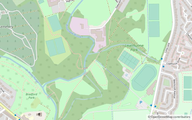
Nearby attractions include St Stephen and All Martyrs' Church, Bolton (15 min walk), Moses Gate, Bolton (20 min walk), Holy Trinity Church, Bolton (21 min walk), Leverhulme Park, Bolton (22 min walk).
How to get to Burnden by public transport?
The nearest stations to Burnden:
Train
Bus
Train
- Bolton (19 min walk)
- Moses Gate (21 min walk)
Bus
- Manchester Road/Moses Gate • Lines: 8 (20 min walk)
- Bolton Interchange (23 min walk)