St Mark's Regents Park, London
Map

Map

Facts and practical information
St. Mark's Church is located in the Borough of Camden, London, near Regent's Park on Prince Albert Road. Built in 1851-2, it was consecrated in 1853 and belongs to the Diocese of London within the Church of England. Originally designed by Thomas Little, alterations in 1888-90 were made by Arthur Blomfield, it is constructed of Kentish ragstone in the early English style. ()
Coordinates: 51°32'16"N, 0°9'8"W
Address
St Mark's SquareCamden (Primrose Hill)London
ContactAdd
Social media
Add
Day trips
St Mark's Regents Park – popular in the area (distance from the attraction)
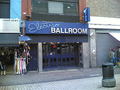
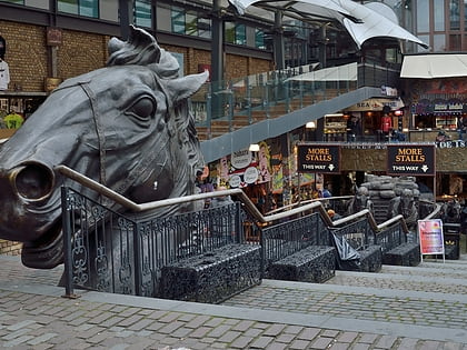
Nearby attractions include: ZSL London Zoo, Chalk Farm Road, Electric Ballroom, Camden High Street.
Frequently Asked Questions (FAQ)
Which popular attractions are close to St Mark's Regents Park?
Nearby attractions include ZSL London Zoo, London (7 min walk), Chalcot Square, London (7 min walk), Matilda Fountain, London (7 min walk), Jewish Museum London, London (9 min walk).
How to get to St Mark's Regents Park by public transport?
The nearest stations to St Mark's Regents Park:
Bus
Metro
Train
Bus
- Regent's Park Road • Lines: 274 (1 min walk)
- ZSL London Zoo • Lines: 274 (3 min walk)
Metro
- Camden Town • Lines: Northern (11 min walk)
- Chalk Farm • Lines: Northern (12 min walk)
Train
- Camden Road (16 min walk)
- Kentish Town West (18 min walk)

 Tube
Tube

