Walkerwood Reservoir, Tameside
Map

Map

Facts and practical information
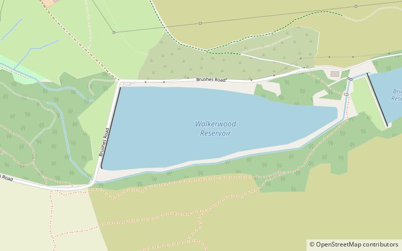
Walkerwood Reservoir is a reservoir in the Brushes valley above Stalybridge in Greater Manchester, built in the 19th century to provide a supply of safe drinking water. It is owned and operated by United Utilities. ()
Elevation: 581 ft a.s.l.Coordinates: 53°29'16"N, 2°1'9"W
Address
Tameside (Stalybridge South)Tameside
ContactAdd
Social media
Add
Day trips
Walkerwood Reservoir – popular in the area (distance from the attraction)
Nearby attractions include: Brushes Reservoir, Wild Bank, Harridge Pike, Huddersfield Narrow Canal Pylon.
Frequently Asked Questions (FAQ)
Which popular attractions are close to Walkerwood Reservoir?
Nearby attractions include Brushes Reservoir, Tameside (11 min walk), Harridge Pike, Tameside (16 min walk), Copley, Stalybridge (24 min walk).


