Copley, Stalybridge
Map

Map

Facts and practical information
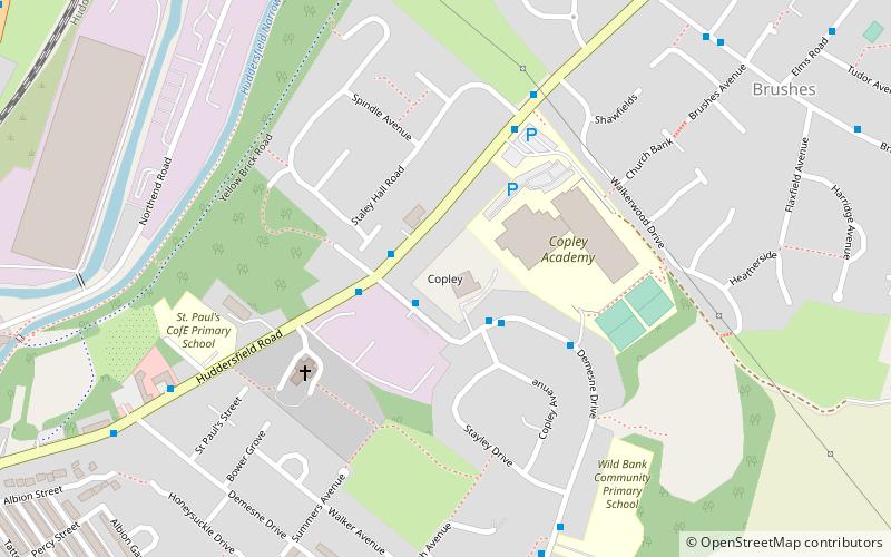
Copley is an area of the town of Stalybridge, at the foot of the Pennines, 8 miles east of Manchester in Greater Manchester, England. The area has a local secondary school, Copley Academy, which is attached to a local recreational centre and swimming pool. ()
Coordinates: 53°29'11"N, 2°2'29"W
Address
Tameside (Stalybridge South)Stalybridge
ContactAdd
Social media
Add
Day trips
Copley – popular in the area (distance from the attraction)
Nearby attractions include: Walkerwood Reservoir, Stamford Park, Wild Bank, Harridge Pike.
Frequently Asked Questions (FAQ)
Which popular attractions are close to Copley?
Nearby attractions include Huddersfield Narrow Canal Pylon, Stalybridge (13 min walk), Eastwood Nature Reserve, Stalybridge (16 min walk), St George's Church, Stalybridge (18 min walk), Armentieres Square, Stalybridge (18 min walk).


