Ramsden
Map
Map

Facts and practical information
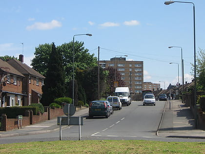
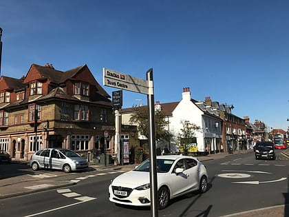
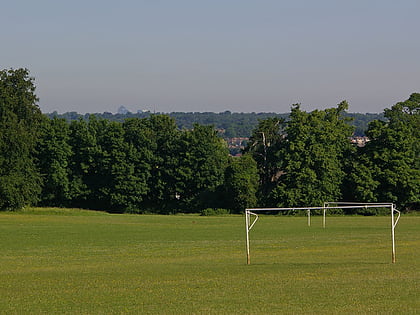
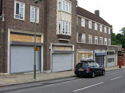
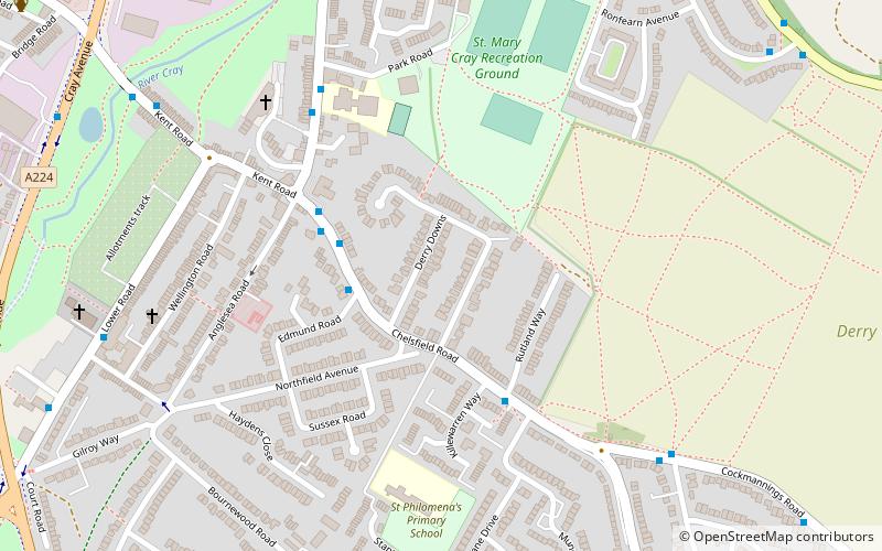
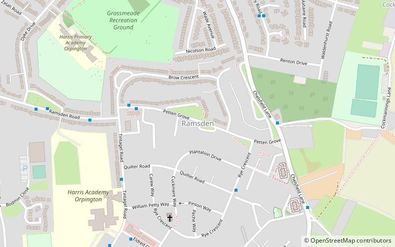
Ramsden is an area in south-east London, generally considered a suburb of Orpington, located in the London Borough of Bromley and the historic county of Kent. It is situated south of Derry Downs and St Mary Cray, east of Orpington town centre and north of Goddington. It was built as a council estate in the 1950-60s and is directly adjacent to the London Green Belt. ()
Coordinates: 51°22'38"N, 0°7'9"E
Location
England
ContactAdd
Social media
Add
Day trips
Ramsden – popular in the area (distance from the attraction)
Nearby attractions include: Orpington, Priory Garden Services, St Mary Cray, Goddington.
