Kevington
Map
Map

Facts and practical information
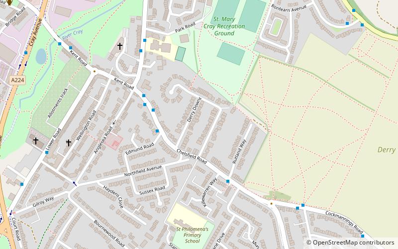
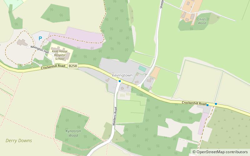
Kevington, sometimes spelt Kevingtown, is a hamlet in southeast London, England, located in the London Borough of Bromley and the historic county of Kent. It lies between St Mary Cray/Derry Downs and Crockenhill in the London Green Belt. ()
Coordinates: 51°23'13"N, 0°7'55"E
Location
England
ContactAdd
Social media
Add
Day trips
Kevington – popular in the area (distance from the attraction)
Nearby attractions include: Priory Garden Services, St Mary Cray, St Paul's Cray, Goddington.


