Maesglas, Newport
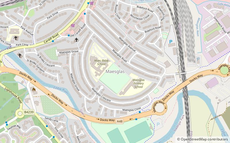
Map
Facts and practical information
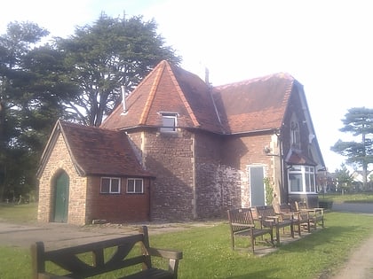
Maesglas or Maes-glas is a neighbourhood in the south west of the city of Newport, South Wales. In the 16th century it was recorded as Greenfield but the Welsh language name Maesglas has remained the more widely used, among English speakers. ()
Coordinates: 51°34'3"N, 3°0'43"W
Address
Newport
ContactAdd
Social media
Add
Day trips
Maesglas – popular in the area (distance from the attraction)
Nearby attractions include: Tredegar House, Newport Transporter Bridge, St Woolos Cemetery, Newport Cathedral.
Frequently Asked Questions (FAQ)
Which popular attractions are close to Maesglas?
Nearby attractions include Duffryn, Newport (15 min walk), Level of Mendalgief, Newport (16 min walk), Tredegar House, Newport (21 min walk), Belle Vue Park, Newport (23 min walk).
How to get to Maesglas by public transport?
The nearest stations to Maesglas:
Bus
Bus
- West Park Road • Lines: 151, 50 (26 min walk)
- Handpost • Lines: 151 (28 min walk)


