St James Quarter, Edinburgh
Map
Facts and practical information
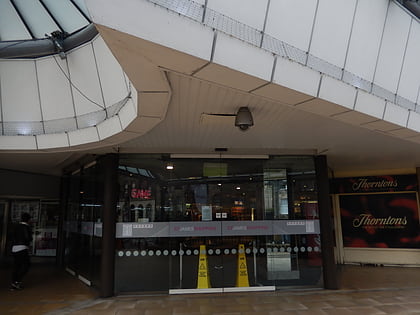
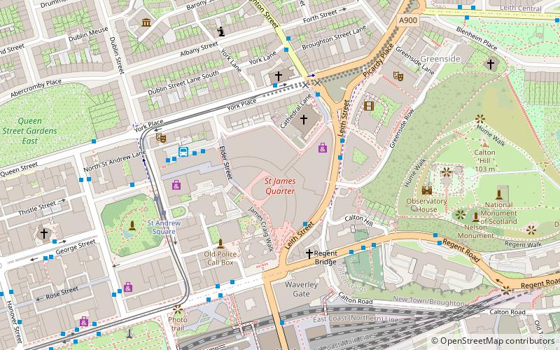
St James Quarter is a large galleria retail shopping centre and residential development in the centre of Edinburgh, Scotland. It is situated in the east end of the New Town. ()
Coordinates: 55°57'18"N, 3°11'19"W
Day trips
St James Quarter – popular in the area (distance from the attraction)
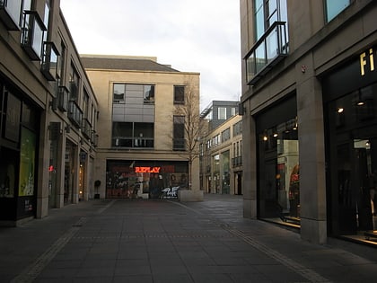
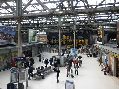
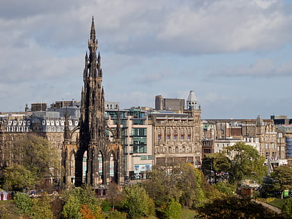
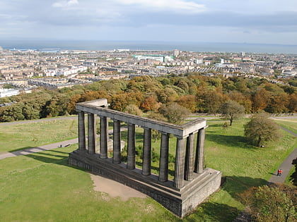
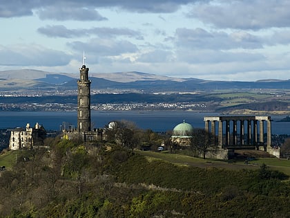
Nearby attractions include: Multrees Walk, Calton Hill, Waverley Mall, Scott Monument.
Frequently Asked Questions (FAQ)
Which popular attractions are close to St James Quarter?
Nearby attractions include St Mary's Cathedral, Edinburgh (2 min walk), New Register House, Edinburgh (3 min walk), Dundas House, Edinburgh (3 min walk), Regent Bridge, Edinburgh (3 min walk).
How to get to St James Quarter by public transport?
The nearest stations to St James Quarter:
Bus
Tram
Train
Bus
- Leith Street • Lines: 1, 14, 19, 22, 25, 4, 49, 7, 8 (2 min walk)
- York Place • Lines: 10, 11, 12, 16, 26, 44 (3 min walk)
Tram
- St Andrew Square • Lines: Edinburgh Trams Eastbound, Edinburgh Trams Westbound (4 min walk)
- Princes Street • Lines: Edinburgh Trams Eastbound, Edinburgh Trams Westbound (11 min walk)
Train
- Edinburgh Waverley (6 min walk)
- Haymarket (35 min walk)
