Nico Ditch, Manchester
Map

Map

Facts and practical information
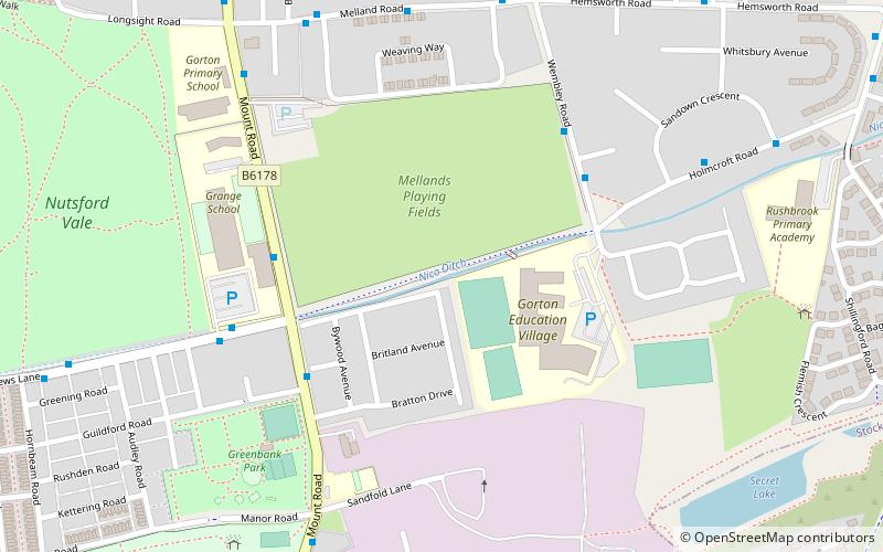
Nico Ditch is a six-mile long linear earthwork between Ashton-under-Lyne and Stretford in Greater Manchester, England. It was dug as a defensive fortification, or possibly a boundary marker, between the 5th and 11th century. ()
Address
Gorton SouthManchester
ContactAdd
Social media
Add
Day trips
Nico Ditch – popular in the area (distance from the attraction)
Nearby attractions include: Gorton Heritage Trail, Belle Vue Stadium, National Speedway Stadium, Gorton Reservoirs.
Frequently Asked Questions (FAQ)
Which popular attractions are close to Nico Ditch?
Nearby attractions include Brookfield Church, Manchester (19 min walk), Peacock Mausoleum, Manchester (19 min walk), Belle Vue Stadium, Manchester (20 min walk), Highfield Country Park, Manchester (21 min walk).
How to get to Nico Ditch by public transport?
The nearest stations to Nico Ditch:
Bus
Train
Bus
- Crowcroft Park, Mount Road / byMatthews Lane • Lines: 171 (4 min walk)
- Ryder Brow, Melland Road / adjacent Wembley Road • Lines: 171 (6 min walk)
Train
- Ryder Brow (12 min walk)
- Belle Vue (20 min walk)

 Metrolink
 Metrolink / Rail


