Highfield Country Park, Manchester
Map

Gallery

Facts and practical information
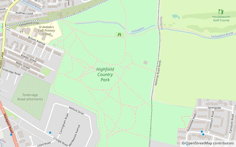
Highfield Country Park is a 70-acre area of open land, situated on the east side of Levenshulme, Manchester, that stretches to the east of Broom Avenue across to the rear of Reddish Golf Course and to the junction of Longford Road, Reddish and Nelstrop Road, Levenshulme. ()
Elevation: 220 ft a.s.l.Coordinates: 53°26'21"N, 2°10'38"W
Day trips
Highfield Country Park – popular in the area (distance from the attraction)
Nearby attractions include: St Elisabeth's Church, St Margaret's Church, Broadstone Mill Limited, Reddish.
Frequently Asked Questions (FAQ)
Which popular attractions are close to Highfield Country Park?
Nearby attractions include Broadstone Mill Limited, Stockport (14 min walk), St Elisabeth's Church, Stockport (15 min walk), North Reddish, Stockport (19 min walk), Reddish, Stockport (19 min walk).
How to get to Highfield Country Park by public transport?
The nearest stations to Highfield Country Park:
Bus
Train
Bus
- Heaton Chapel, Marbury Road / near Greystone Walk • Lines: 7A, 7B (8 min walk)
Train
- Levenshulme (20 min walk)
- Reddish South (21 min walk)

 Metrolink
 Metrolink / Rail


