Knowsthorpe, Leeds
Map

Map

Facts and practical information
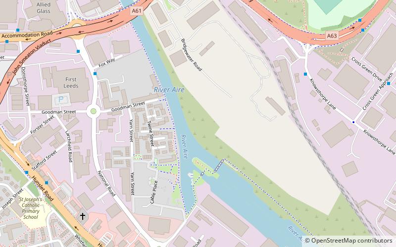
Knowsthorpe, Knostrop or Knostropp is an area of Leeds, West Yorkshire, England, on the River Aire. The spelling "Knostrop" is predominantly used for the large water treatment works in the area. Atkinson Grimshaw painted Knostrop Cut, Leeds, Sunday Night, 1893. The area falls within Temple Newsam ward of Leeds City Council. ()
Coordinates: 53°47'2"N, 1°31'19"W
Address
Richmond Hill (Cross Green)Leeds
ContactAdd
Social media
Add
Day trips
Knowsthorpe – popular in the area (distance from the attraction)
Nearby attractions include: Briggate, Leeds Corn Exchange, Leeds Kirkgate Market, The Tetley.
Frequently Asked Questions (FAQ)
Which popular attractions are close to Knowsthorpe?
Nearby attractions include Leeds and Liverpool Canal, Leeds (6 min walk), Aire and Calder Navigation, Leeds (6 min walk), Discovery Centre, Leeds (13 min walk), St Saviour Church, Leeds (15 min walk).
How to get to Knowsthorpe by public transport?
The nearest stations to Knowsthorpe:
Bus
Ferry
Train
Bus
- Atkinson Street at Hunslet Park Depot • Lines: 29 (6 min walk)
- Low Road Stafford Street • Lines: 110, 444, 446 (8 min walk)
Ferry
- Leeds Water Taxi Dock • Lines: Leeds Dock Water Taxi (32 min walk)
Train
- Moor Road (26 min walk)
- Leeds (34 min walk)


