Harrow Civic Centre, Watford
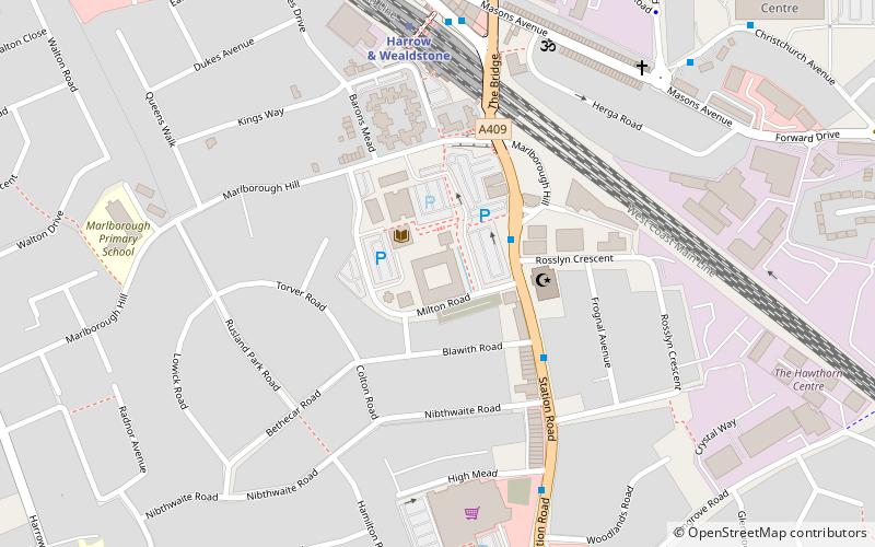
Map

Map

Facts and practical information
Harrow Civic Centre is a municipal building in Station Road, Harrow, London. It is the headquarters of Harrow London Borough Council. ()
Coordinates: 51°35'21"N, 0°20'3"W
Address
Harrow (Marlborough)Watford
ContactAdd
Social media
Add
Day trips
Harrow Civic Centre – popular in the area (distance from the attraction)
Nearby attractions include: Harrow Museum, St Mary's Church, St. Anns Shopping Centre, Our Lady and St Thomas of Canterbury.
Frequently Asked Questions (FAQ)
Which popular attractions are close to Harrow Civic Centre?
Nearby attractions include Harrow Central Mosque, Watford (3 min walk), Wealdstone, Watford (12 min walk), Mosaic Reform Synagogue, London (21 min walk), Our Lady and St Thomas of Canterbury, London (24 min walk).
How to get to Harrow Civic Centre by public transport?
The nearest stations to Harrow Civic Centre:
Bus
Metro
Train
Bus
- Harrow Civic Centre / Harrow Mosque • Lines: 140, 182, 186, 258, 340, 640, N140, N18 (2 min walk)
- Safari Cinema • Lines: 140, 182, 186, 258, 340, 640, N140, N18 (6 min walk)
Metro
- Harrow & Wealdstone • Lines: Bakerloo (5 min walk)
- Harrow-on-the-Hill • Lines: Metropolitan (18 min walk)
Train
- Headstone Lane (35 min walk)


