Headstone, Watford
Map

Gallery

Facts and practical information
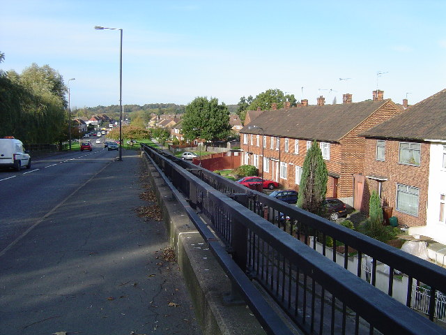
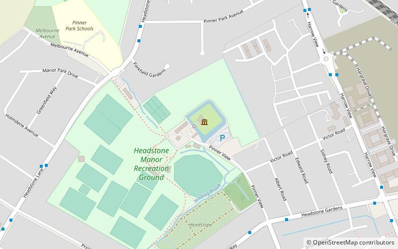
Headstone is a residential area north-west of Harrow, London, and immediately north of North Harrow. A green buffer exists between Headstone and North Harrow that consists of a moated manor site and football and rugby pitches, making the area mostly separate from North Harrow. However, there are some points of flux and overlap. To the west the area abuts the large and predominantly agricultural pasture of Pinner Park. ()
Coordinates: 51°36'5"N, 0°21'48"W
Address
Harrow (Headstone North)Watford
ContactAdd
Social media
Add
Day trips
Headstone – popular in the area (distance from the attraction)
Nearby attractions include: Harrow Museum, Pinner Parish Church, Harrow Arts Centre, St John the Baptist.
Frequently Asked Questions (FAQ)
Which popular attractions are close to Headstone?
Nearby attractions include Hatch End, London (13 min walk), Harrow Arts Centre, Watford (13 min walk), Headstone Manor, London (15 min walk), Harrow Museum, London (16 min walk).
How to get to Headstone by public transport?
The nearest stations to Headstone:
Train
Bus
Metro
Train
- Headstone Lane (8 min walk)
- Hatch End (16 min walk)
Bus
- Headstone Lane Station • Lines: H18, H19 (8 min walk)
- Broadfields Sports Ground • Lines: H18 (9 min walk)
Metro
- Pinner • Lines: Metropolitan (25 min walk)
- North Harrow • Lines: Metropolitan (29 min walk)


