M postcode area, Manchester
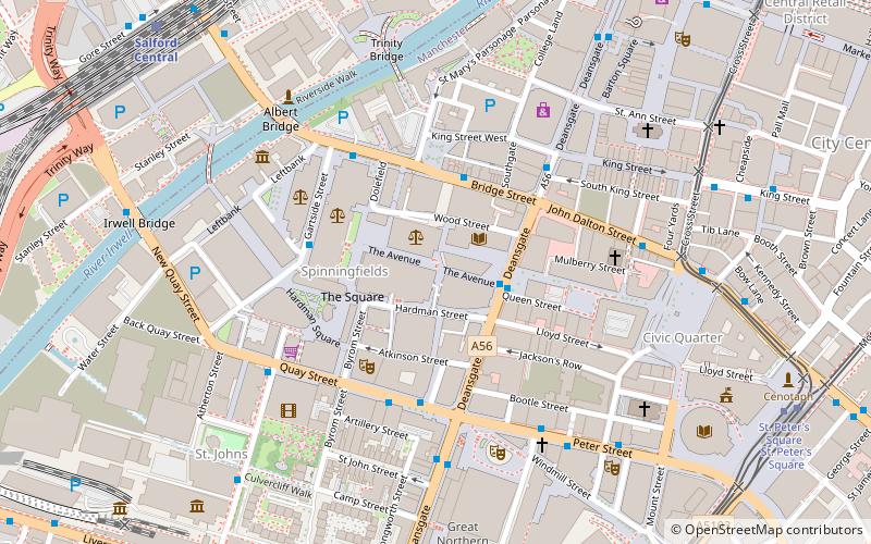
Map
Facts and practical information
The M postcode area, also known as the Manchester postcode area, is a group of postcode districts in the North West of England. The districts are subdivisions of three post towns: Manchester, Salford and Sale and cover parts of all ten boroughs of Greater Manchester, primarily the cities of Manchester and Salford and the majority of the borough of Trafford. ()
Coordinates: 53°28'48"N, 2°15'0"W
Address
City CentreManchester
ContactAdd
Social media
Add
Getting there by public transportation
Public transportation stops near this location
- Bus
- Tram
- Train
 Bus
Bus
- Calculate routeSpinningfields, Deansgate / at Spinningfields 2 min walk
- Calculate routeBridge Street/Deansgate 3 min walk
- Calculate routeGartside Street/Manchester Crown Court 3 min walk
- Calculate routeQuay Street/Opera House 3 min walk
- Calculate routeSalford Central 8 min walk
- Calculate routeDeansgate 11 min walk
- Calculate routeManchester Oxford Road 14 min walk
- Calculate routeManchester Victoria 17 min walk
- Calculate routeSt. Peter's Square 8 min walk
- Calculate routeDeansgate-Castlefield 10 min walk
- Calculate routeExchange Square 11 min walk
- Calculate routeMarket Street 13 min walk
Maps MetrolinkMaps
 Metrolink / Rail
MetrolinkMapsMetrolink / RailDay trips


Frequently Asked Questions (FAQ)
Which popular attractions are close to M postcode area?
Nearby attractions include John Rylands Research Institute and Library, Manchester (2 min walk), Spinningfields, Manchester (2 min walk), Manchester Library & Information Service, Manchester (2 min walk), County Court, Manchester (3 min walk).
How to get to M postcode area by public transport?
The nearest stations to M postcode area:
Bus
Train
Tram
Bus
- Spinningfields, Deansgate / at Spinningfields • Lines: 1, 191, 197 (2 min walk)
- Bridge Street/Deansgate • Lines: 2 (peak), 50 (3 min walk)
Train
- Salford Central (8 min walk)
- Deansgate (11 min walk)
Tram
- St. Peter's Square • Lines: Airp, Altr, Asht, Bury, Eccl, EDid, Mcuk, Picc, Roch, Shaw, Vict (8 min walk)
- Deansgate-Castlefield • Lines: Airp, Altr, Asht, Bury, Dean, Eccl, EDid, Mcuk, Picc, Roch, Shaw, Vict (10 min walk)