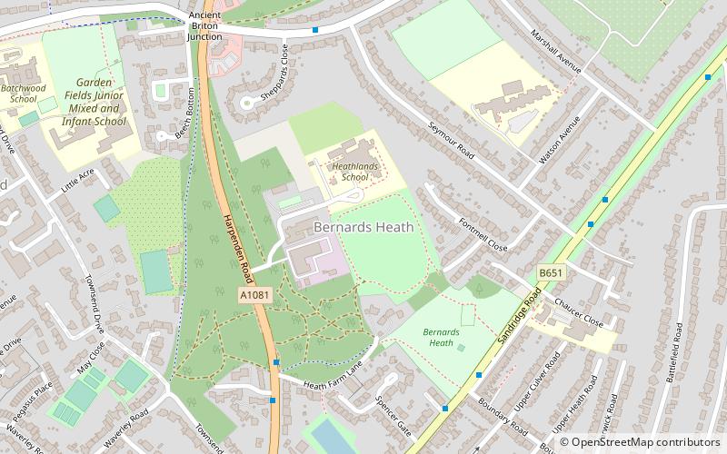
Bernards Heath, St Albans

Map
Facts and practical information
Bernards Heath is a heathland in St Albans, Hertfordshire, the site of the Second Battle of St Albans in 1461 during the Wars of the Roses. ()
Coordinates: 51°45'47"N, 0°19'54"W
Address
St Albans
ContactAdd
Social media
Add
Day trips
Bernards Heath – popular in the area (distance from the attraction)
Nearby attractions include: The Boot, St Albans Cathedral, Batchwood Hall, St Albans Museums.
Frequently Asked Questions (FAQ)
Which popular attractions are close to Bernards Heath?
Nearby attractions include Beech Bottom Dyke, St Albans (13 min walk), St Peter's Church, St Albans (14 min walk), Alban Arena, St Albans (19 min walk), Clarence Park, St Albans (19 min walk).
How to get to Bernards Heath by public transport?
The nearest stations to Bernards Heath:
Bus
Train
Bus
- Heath Farm Lane • Lines: 84 (5 min walk)
- The Ancient Briton • Lines: 84 (8 min walk)
Train
- St Albans City (23 min walk)


