Kensington Church Street, London
Map
Gallery
Facts and practical information
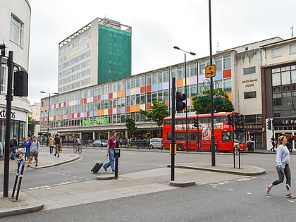
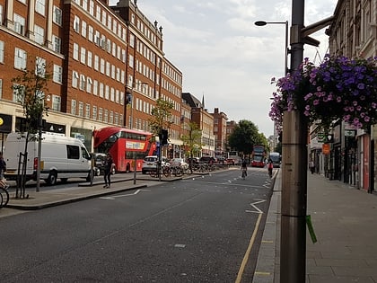
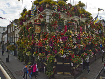
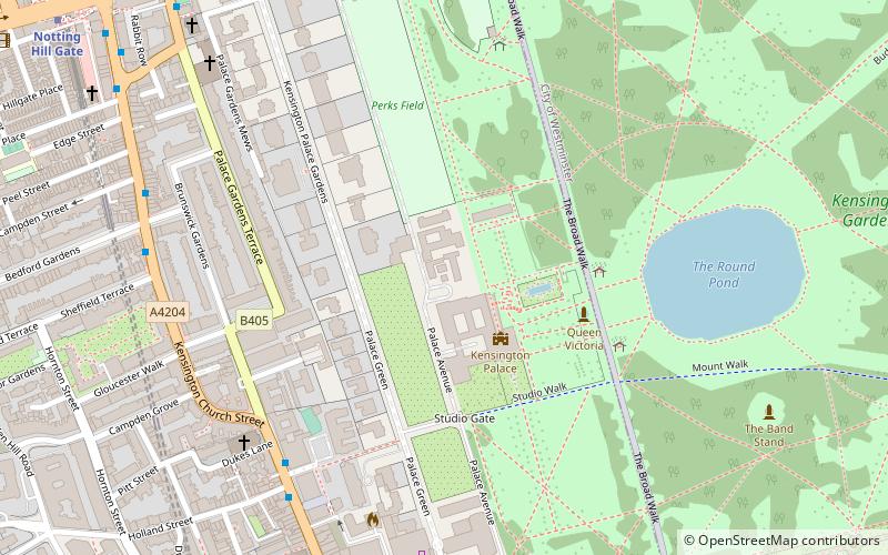
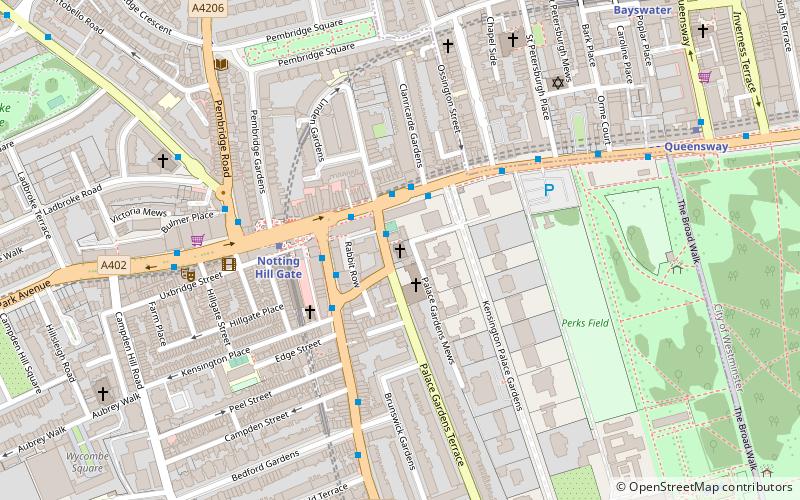
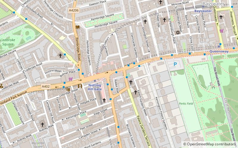
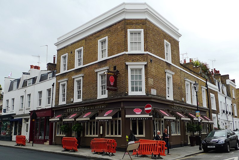
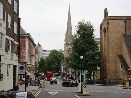
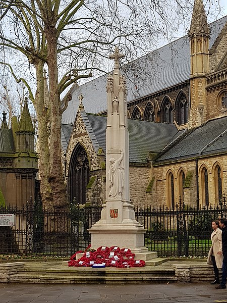
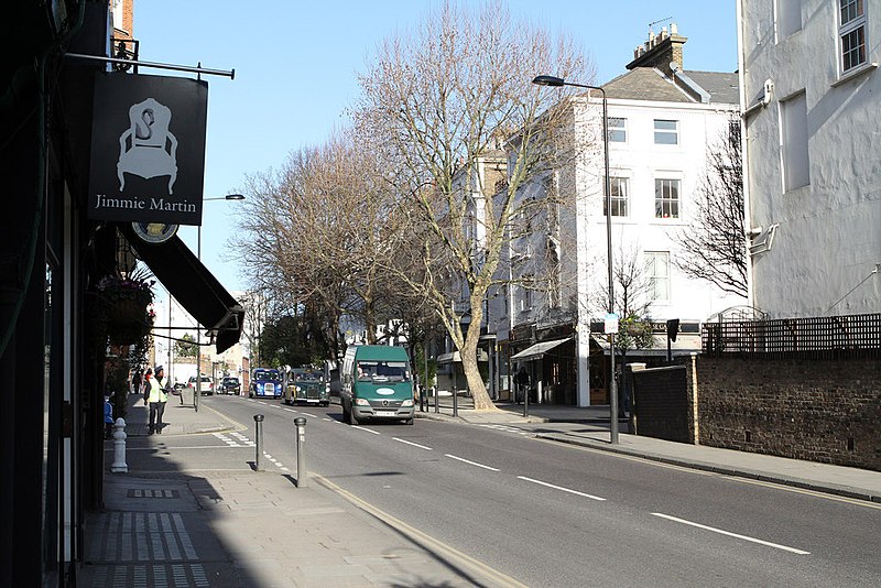
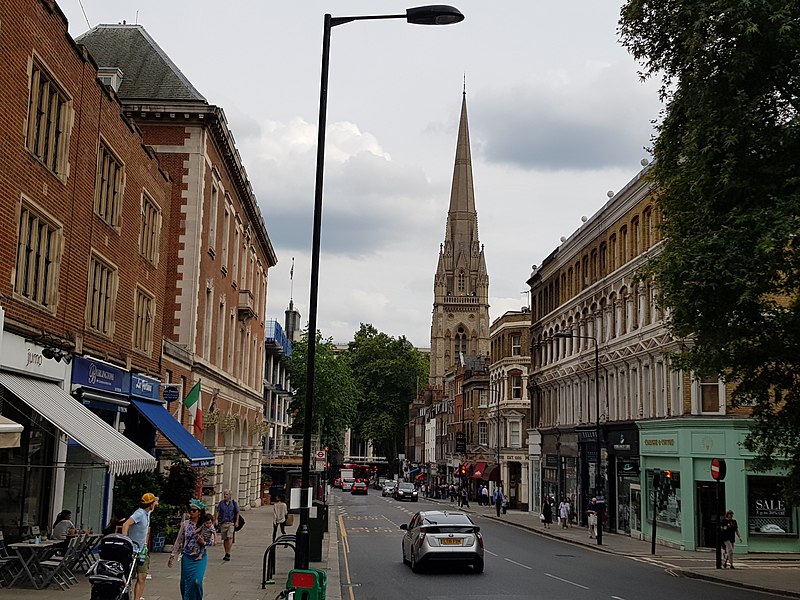
Kensington Church Street is a shopping street in Kensington, London, England, designated the A4204, and traditionally known for its art and antiques shops. ()
Coordinates: 51°30'21"N, 0°11'40"W
Address
Kensington and Chelsea (Campden)London
ContactAdd
Social media
Add
Day trips
Kensington Church Street – popular in the area (distance from the attraction)
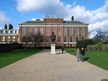
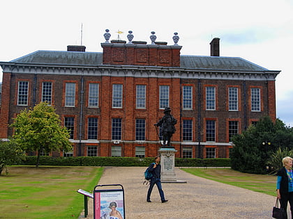
Nearby attractions include: Kensington Palace, Notting Hill Gate, Kensington High Street, Statue of William III.
Frequently Asked Questions (FAQ)
Which popular attractions are close to Kensington Church Street?
Nearby attractions include Rowley Gallery, London (2 min walk), Our Lady of Mount Carmel and St Simon Stock, London (5 min walk), Kensington Palace Gardens, London (5 min walk), Holland Street, London (6 min walk).
How to get to Kensington Church Street by public transport?
The nearest stations to Kensington Church Street:
Bus
Metro
Train
Bus
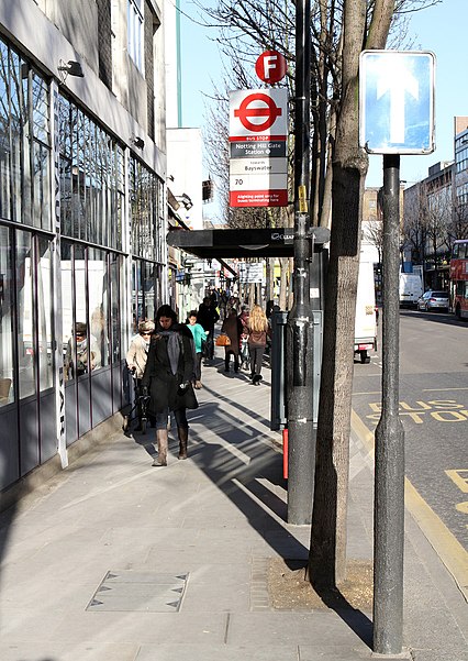
- Sheffield Terrace • Lines: 27, 28, 328, 452, 52, 70, N27, N28, N31 (2 min walk)
- York House Place / Kensington High Street • Lines: 27, 28, 328, 452, 52, 70, N27, N28, N31 (5 min walk)
Metro
- Notting Hill Gate • Lines: Central, Circle, District (6 min walk)
- High Street Kensington • Lines: Circle, District (11 min walk)
Train
- Shepherd's Bush (26 min walk)
- London Paddington (27 min walk)


 Tube
Tube