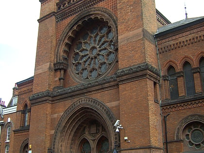
Nottingham Cottage, London
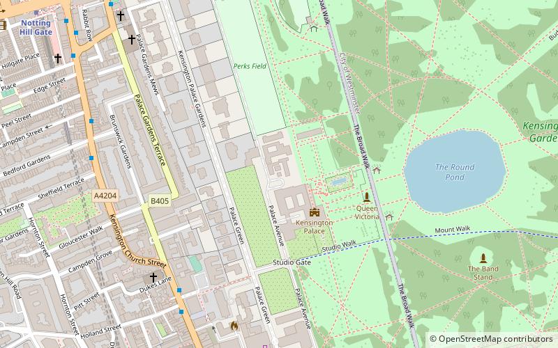
Map
Facts and practical information
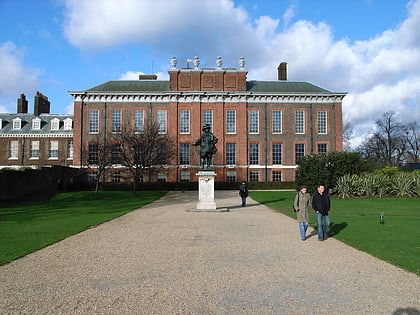
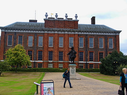
Nottingham Cottage is a house in the grounds of Kensington Palace in London. As a grace-and-favour property, the house has been frequently occupied by members of the British royal family, as well as staff and employees. ()
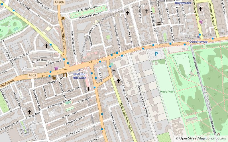
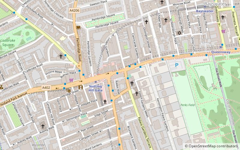
Coordinates: 51°30'21"N, 0°11'19"W
Address
Kensington and Chelsea (Campden)London
ContactAdd
Social media
Add
Day trips
Nottingham Cottage – popular in the area (distance from the attraction)
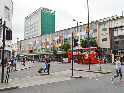
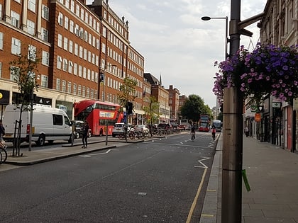
Nearby attractions include: Kensington Palace, Kensington Gardens, Notting Hill Gate, Kensington High Street.
Frequently Asked Questions (FAQ)
Which popular attractions are close to Nottingham Cottage?
Nearby attractions include Kensington Palace, London (2 min walk), Statue of Diana, London (3 min walk), Statue of William III, London (3 min walk), Kensington Palace Gardens, London (3 min walk).
How to get to Nottingham Cottage by public transport?
The nearest stations to Nottingham Cottage:
Bus
Metro
Train
Bus
- York House Place / Kensington High Street • Lines: 27, 28, 328, 452, 52, 70, N27, N28, N31 (6 min walk)
- Kensington Palace • Lines: 23, 452, 49, 52, 70, 9, N9 (7 min walk)
Metro
- Queensway • Lines: Central (9 min walk)
- Notting Hill Gate • Lines: Central, Circle, District (11 min walk)
Train
- London Paddington (24 min walk)
 Tube
Tube