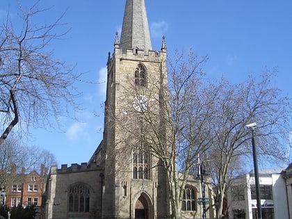
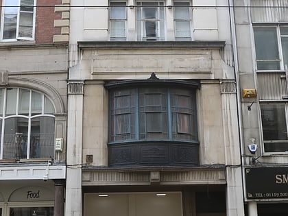
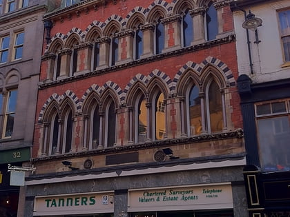
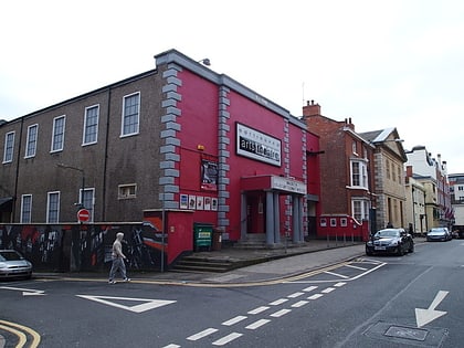
Nottingham city centre, Nottingham
Map

Gallery
Facts and practical information
Nottingham city centre is the cultural, commercial, financial and historical heart of Nottingham, England. Nottingham's city centre represents the central area of the Greater Nottingham conurbation. ()
Coordinates: 52°57'11"N, 1°8'56"W
Address
BridgeNottingham
ContactAdd
Social media
Add
Day trips
Nottingham city centre – popular in the area (distance from the attraction)
Nearby attractions include: intu Broadmarsh, Nottingham Council House, Old Market Square, City of Caves.
Frequently Asked Questions (FAQ)
Which popular attractions are close to Nottingham city centre?
Nearby attractions include Poultry, Nottingham (1 min walk), Nottingham Council House, Nottingham (2 min walk), Flying Horse Walk, Nottingham (2 min walk), Old Market Square, Nottingham (2 min walk).
How to get to Nottingham city centre by public transport?
The nearest stations to Nottingham city centre:
Tram
Bus
Train
Tram
- Old Market Square • Lines: 1, 2 (2 min walk)
- Lace Market • Lines: 1, 2 (4 min walk)
Bus
- Beastmarket Hill • Lines: 1, 2, 3, 48, 65, L64, N4, N48 (3 min walk)
- Friar Lane • Lines: 18, 20, 21, 90, Bus Indigo, Club Class, Cotgrave Connection, i4, Keyworth Connection, Rushcliffe Villager, Skylink, Xprss, Y5 (3 min walk)
Train
- Nottingham (11 min walk)


