Netherside Stream Outcrops, Chiddingfold
#8 among attractions in Chiddingfold
![Netherside Stream Outcrops location map](https://tzmedia.b-cdn.net/media/images/static-maps/gb/51_098_-0_656.jpg)
Facts and practical information
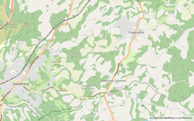
Netherside Stream Outcrops is a 2.9-hectare geological Site of Special Scientific Interest north-east of Haslemere in Surrey. It is a Geological Conservation Review site. ()
Chiddingfold United Kingdom
Chiddingfold plan & book
Unleash the traveler in you — discover the cheapest flight deals, find the perfect hotel or hostel nearby, and search for the best car rental prices. Travel at your own pace to discover new places and enjoy your journey.
Netherside Stream Outcrops – popular in the area (distance from the attraction)
Nearby attractions include: Hollycombe Steam Collection, Ramster, Hambledon Church, Blackdown.
6.2 miSWMuseum, Theme parkHollycombe Steam Collection, Sussex Downs AONB
158 min walk • The Hollycombe Steam Collection is a collection of steam-powered vehicles, amusement rides, and attractions based near Liphook in Hampshire, Southeast England.
0.6 miSEBotanical gardenRamster, Chiddingfold
16 min walk • Ramster Garden is an open garden, near Chiddingfold, Surrey, covering over 20 acres. First landscaped and laid out in the 1890s by Gauntlett Nurseries and Sir Harry Waechter. In 1922, Sir Henry and Lady Norman purchased Ramster, and was cared for by their granddaughter Miranda Gunn, and her husband.
3.5 miNEChurch, Gothic Revival architectureHambledon Church, Chiddingfold
91 min walk • Hambledon Church as it is known locally is an evangelical Anglican Church in Hambledon, Surrey, United Kingdom. Hambledon Church is part of a parish with Busbridge Church connected to the large village or small town of Godalming, Surrey.
3.1 miSWNature, Natural attraction, HillBlackdown, Sussex Downs AONB
80 min walk • Blackdown, or Black Down, summit elevation 279.7 metres AMSL, is the highest point in both the historic county of Sussex and the South Downs National Park.
5.5 miNW51°8'51"N • 0°45'21"WThe Sculpture Park, Farnham
141 min walk • Nature and wildlife, Art gallery, Shopping
2.3 miWSpecialty museum, Museum, Natural history museumHaslemere Educational Museum, Beacon Hill
58 min walk • Haslemere Educational Museum was founded in 1888 by the eminent surgeon Sir Jonathan Hutchinson to display his growing collection of natural history specimens.
2.5 miSELakeShillinglee Lake, South Downs National Park
65 min walk • Shillinglee Lake is a 17-hectare biological Site of Special Scientific Interest west of Plaistow in West Sussex. The lake has been designated an SSSI because it has four nationally uncommon plants.
2.9 miNWNature, Natural attraction, HillGibbet Hill, Beacon Hill
73 min walk • Gibbet Hill, at Hindhead, Surrey, is the apex of the scarp surrounding the Devil's Punch Bowl, not far from the A3 London to Portsmouth road in England.
2.4 miWHiking, Hiking trailSerpent Trail, Beacon Hill
62 min walk • The Serpent Trail is a 64-mile long distance footpath. It runs from Haslemere to Petersfield, which are 11 miles apart in a straight line, by a route which is designed to join up the many heathland areas on greensand in the western Weald.
1.7 miNEChurchSt Teresa of Avila Church, Chiddingfold
43 min walk • St Teresa of Avila Church is a Roman Catholic Parish church in Chiddingfold, Surrey. It is situated on the corner of Petworth Road and Woodside Road in the centre of the village, next to the cricket green of Chiddingfold Cricket Club.
4.9 miW