Fulwell, Feltham
Map

Map

Facts and practical information
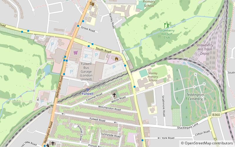
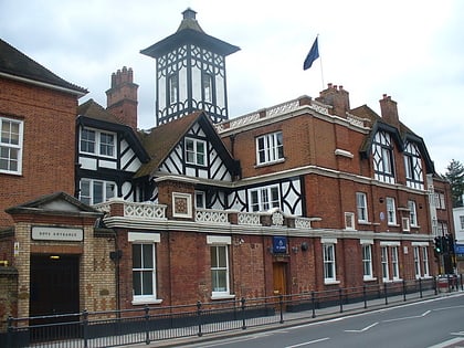
Fulwell is a neighbourhood of outer South West London in the historic County of Middlesex and the London Borough of Richmond upon Thames. It straddles the west of the generally firmer borders of Twickenham and Teddington, reinforced as local postcode districts. The name is first known in documents of the fifteenth century. It may be from a reliably full well or a corruption of foul well. ()
Coordinates: 51°26'4"N, 0°20'51"W
Address
Richmond upon Thames (Fulwell and Hampton Hill)Feltham
ContactAdd
Social media
Add
Day trips
Fulwell – popular in the area (distance from the attraction)
Nearby attractions include: Twickenham Stoop, Hampton Pool, Teddington Lock, St Mary with St Alban.
Frequently Asked Questions (FAQ)
Which popular attractions are close to Fulwell?
Nearby attractions include Teddington Cemetery, London (7 min walk), St Francis De Sales, Feltham (8 min walk), Hampton Hill, Feltham (15 min walk), Twickenham United Reformed Church, Feltham (16 min walk).
How to get to Fulwell by public transport?
The nearest stations to Fulwell:
Bus
Train
Bus
- Fulwell Station • Lines: 281, 33, 481, 681, N33, R70 (5 min walk)
- Fulwell / Sixth Cross Road • Lines: 267, 281, 290, 681, N22, R70 (5 min walk)
Train
- Fulwell (3 min walk)
- Strawberry Hill (13 min walk)


