Howden Edge, Peak District
Map

Map

Facts and practical information
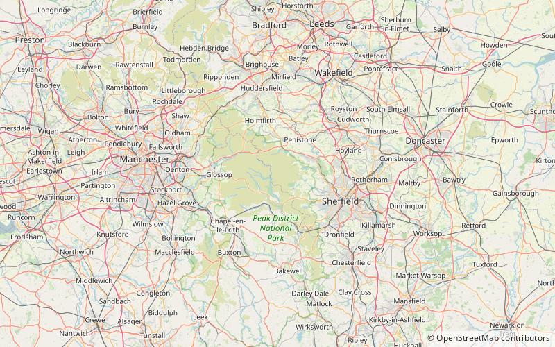
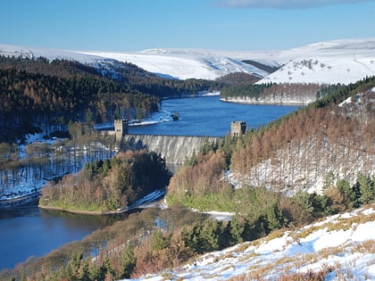
Howden Edge is a peak in the north-east of the Upper Derwent Valley area of the Peak District National Park in England. At 545 m, it is the second-highest marked point within South Yorkshire, after Margery Hill 546 m. The highest point itself being High Stones at 548 m which is only shown on 1:25,000 scale maps and larger. ()
Coordinates: 53°26'43"N, 1°43'12"W
Address
Peak District
ContactAdd
Social media
Add
Day trips
Howden Edge – popular in the area (distance from the attraction)
Nearby attractions include: Howden Reservoir, Derwent Bridge, Margery Hill, High Stones.
Frequently Asked Questions (FAQ)
Which popular attractions are close to Howden Edge?
Nearby attractions include High Stones, Peak District (1 min walk), Margery Hill, Peak District (23 min walk).


