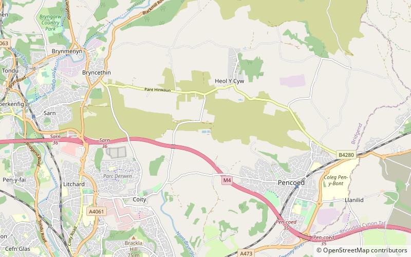
Cefn Hirgoed, Bridgend

Map
Facts and practical information
Cefn Hirgoed is a ridge in Bridgend county borough in South Wales. The ridge extends for about 5km east from the village of Sarn just north of Bridgend to Pen-prysg north of Pencoed. At the point where it reaches its highest elevation of 142m, are a couple of covered reservoirs. Towards the west the M4 motorway runs along the hill’s southern edge. ()
Coordinates: 51°32'10"N, 3°31'55"W
Address
Bridgend
ContactAdd
Social media
Add
Day trips
Cefn Hirgoed – popular in the area (distance from the attraction)
Nearby attractions include: McArthur Glen, Bryngarw Country Park, Coity Castle, Newcastle Castle.


