Botley Hill, Tatsfield
#1 among attractions in Tatsfield


Facts and practical information
Botley Hill is a hill in Surrey and is the highest point of the North Downs with a height of 269.6 metres. The Prime Meridian crosses the hill. ()
Tatsfield United Kingdom
Botley Hill – popular in the area (distance from the attraction)
Nearby attractions include: Chartwell, Down House, Bay Pond, Titsey Place.
 Sir Winston Churchill's longtime home
Chartwell, Westerham
99 min walk • Chartwell, nestled in the lush greenery of Westerham, United Kingdom, is a historical site that draws visitors from around the world. This elegant country house was the family home of Sir Winston Churchill, Britain's revered Prime Minister during the Second World War.
 Museum, History museum, Historical place
Down House, London
103 min walk • Down House is the former home of the English naturalist Charles Darwin and his family. It was in this house and garden that Darwin worked on his theory of evolution by natural selection, which he had conceived in London before moving to Down.
 Park
ParkBay Pond, Godstone
99 min walk • Bay Pond is a 7-hectare nature reserve in Godstone in Surrey. It is managed by the Surrey Wildlife Trust. It is part of Godstone Ponds Site of Special Scientific Interest Bay Pond has no public access, and is an educational reserve run by the Trust.
 Museum, Park
Titsey Place
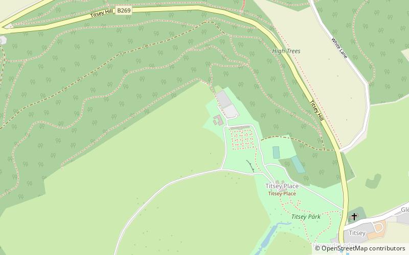
5 min walk • Titsey Place is an English country house near Oxted in Surrey, England. It was successively the seat of the Gresham and Leveson-Gower families and is now preserved by a charitable trust for the nation.
 Church
All Saints Church, Oxted
37 min walk • All Saints Church is a Roman Catholic Parish church in Oxted, Surrey. Building work on the church started in 1913 and was delayed by World War I. Aspects of the church interior were designed by Geoffrey Webb. It is situated off Chichele Road north of the town centre, to the west of Oxted School. It is a Grade II listed building.
 Archaeological site
Pilgrims' Way, Westerham
60 min walk • The Pilgrims' Way is the historical route supposedly taken by pilgrims from Winchester in Hampshire, England, to the shrine of Thomas Becket at Canterbury in Kent.

 Forest
Westerham Wood, Westerham
55 min walk • Westerham Wood is a 43.2 hectares biological Site of Special Scientific Interest north of Westerham in Kent. This ancient oak wood on Gault Clay is traditionally managed, and it has a diverse ground flora and an outstanding range of breeding birds.
 Church, Gothic Revival architecture
Sacred Heart Church, Old Coulsdon
110 min walk • Sacred Heart Church or formally the Church of the Sacred Heart of Jesus is a Roman Catholic Parish church in Caterham, Surrey. It was built in 1881 and designed by Ingress Bell. It is situated between Essendene Road and Whyteleafe Road off the High Street. It is a Grade II listed building.
 Historical place, History museum, Museum
Quebec House, Westerham
73 min walk • Quebec House is the birthplace of General James Wolfe on what is now known as Quebec Square in Westerham, Kent, England. The house is listed Grade I on the National Heritage List for England since September 1954.

