Sleaford Joint Sixth Form, Sleaford
Map
Facts and practical information
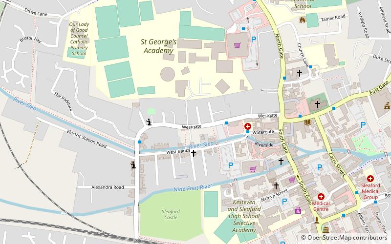
Sleaford Joint Sixth Form is a partnership in Sleaford, England, between Carre's Grammar School and St George's Academy. It has Mathematics, Science and Computing specialism. ()
Coordinates: 52°59'57"N, 0°24'51"W
Address
Sleaford
ContactAdd
Social media
Add
Getting there by public transportation
Public transportation stops near this location
- Train
 Train
Train
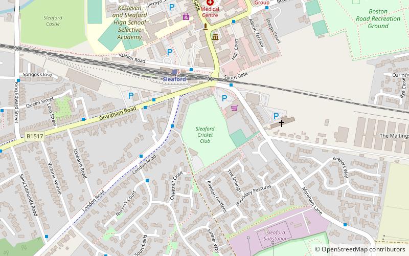
- Calculate routeSleaford 8 min walk
Day trips


Frequently Asked Questions (FAQ)
Which popular attractions are close to Sleaford Joint Sixth Form?
Nearby attractions include Playhouse, Sleaford (1 min walk), Sleaford Castle, Sleaford (6 min walk), St Denys' Church, Sleaford (6 min walk), Navigation House, Sleaford (7 min walk).
How to get to Sleaford Joint Sixth Form by public transport?
The nearest stations to Sleaford Joint Sixth Form:
Train
Train
- Sleaford (8 min walk)