Montague Arms, London
Map

Map

Facts and practical information
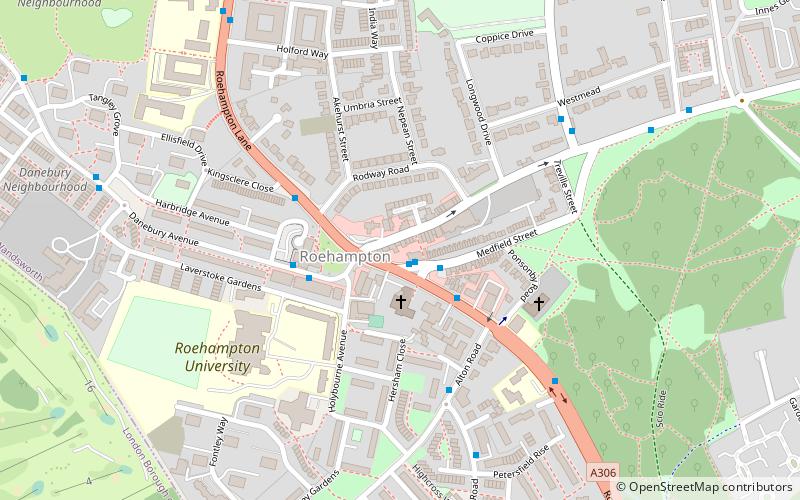
The Montague Arms is a Grade II listed building at 3 Medfield Street, Roehampton, London. Previously a public house, it dates to the 17th century, although has been altered since. ()
Coordinates: 51°26'60"N, 0°14'24"W
Address
Wandsworth (Roehampton and Putney Heath)London
ContactAdd
Social media
Add
Day trips
Montague Arms – popular in the area (distance from the attraction)
Nearby attractions include: Putney Exchange, Wimbledon Lawn Tennis Museum, Bricklayer's Arms, White Lodge.
Frequently Asked Questions (FAQ)
Which popular attractions are close to Montague Arms?
Nearby attractions include Roehampton, London (12 min walk), Putney Vale Cemetery, London (19 min walk), Wimbledon Windmill, London (24 min walk).
How to get to Montague Arms by public transport?
The nearest stations to Montague Arms:
Bus
Train
Bus
- Medfield Street • Lines: 170, 430, 493, 639, 670, 85 (1 min walk)
- Roehampton Lane / Danebury Avenue • Lines: 265, 419, 493, 85, 969, N72, N74 (3 min walk)
Train
- Barnes (30 min walk)
- Putney (34 min walk)

 Tube
Tube


