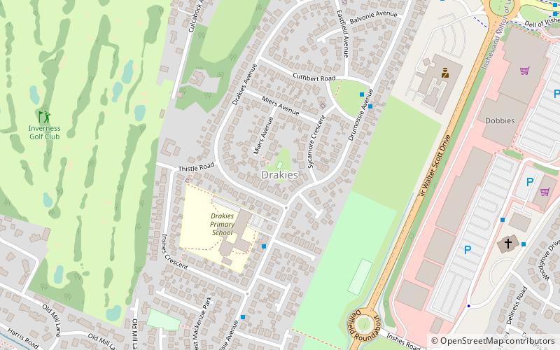
Drakies, Inverness
Map
Facts and practical information
Drakies is a small housing estate on the outskirts of Inverness, Scotland, lying immediately south of the former Inverness-shire village of Culcabock. Both these areas are now suburbs of the city of Inverness. ()
Coordinates: 57°28'8"N, 4°11'49"W
Address
Inverness
ContactAdd
Social media
Add
Getting there by public transportation
Public transportation stops near this location
- Bus
- Train
 Bus
Bus
- Calculate routeInverness 32 min walk
- Calculate routeInverness Bus Station 34 min walk
Day trips


Frequently Asked Questions (FAQ)
Which popular attractions are close to Drakies?
Nearby attractions include Culcabock, Inverness (7 min walk), Inshes, Inverness (12 min walk).
How to get to Drakies by public transport?
The nearest stations to Drakies:
Train
Bus
Train
- Inverness (32 min walk)
Bus
- Inverness Bus Station • Lines: 917, 919 (34 min walk)